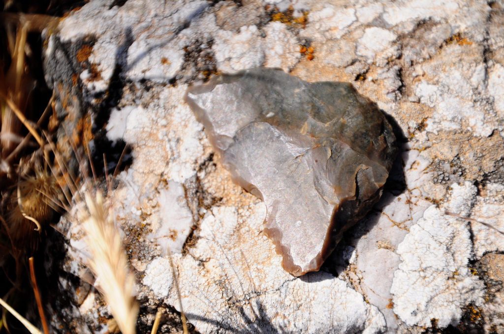
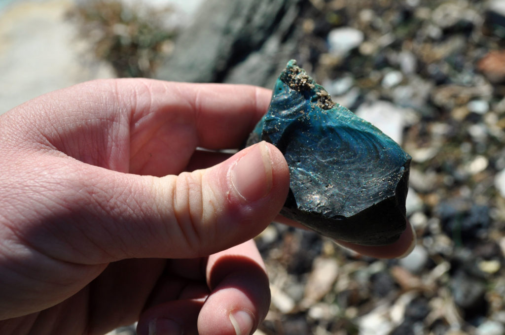
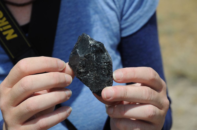
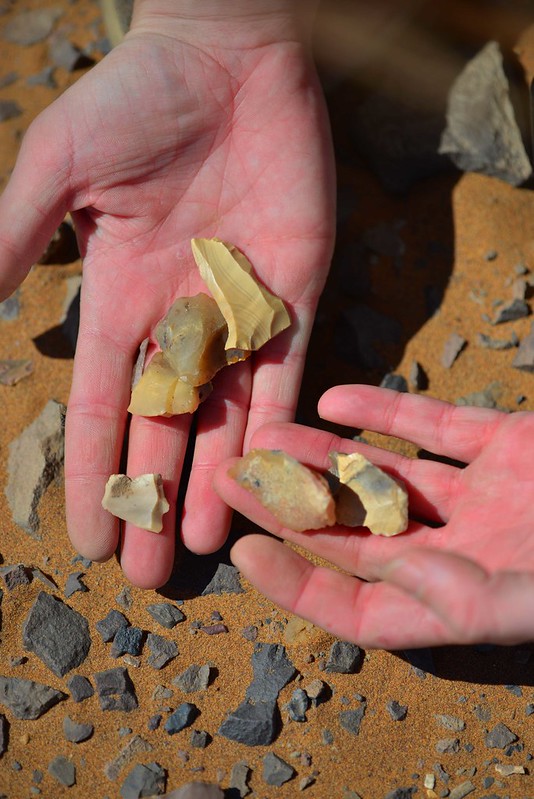
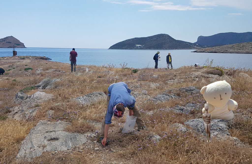
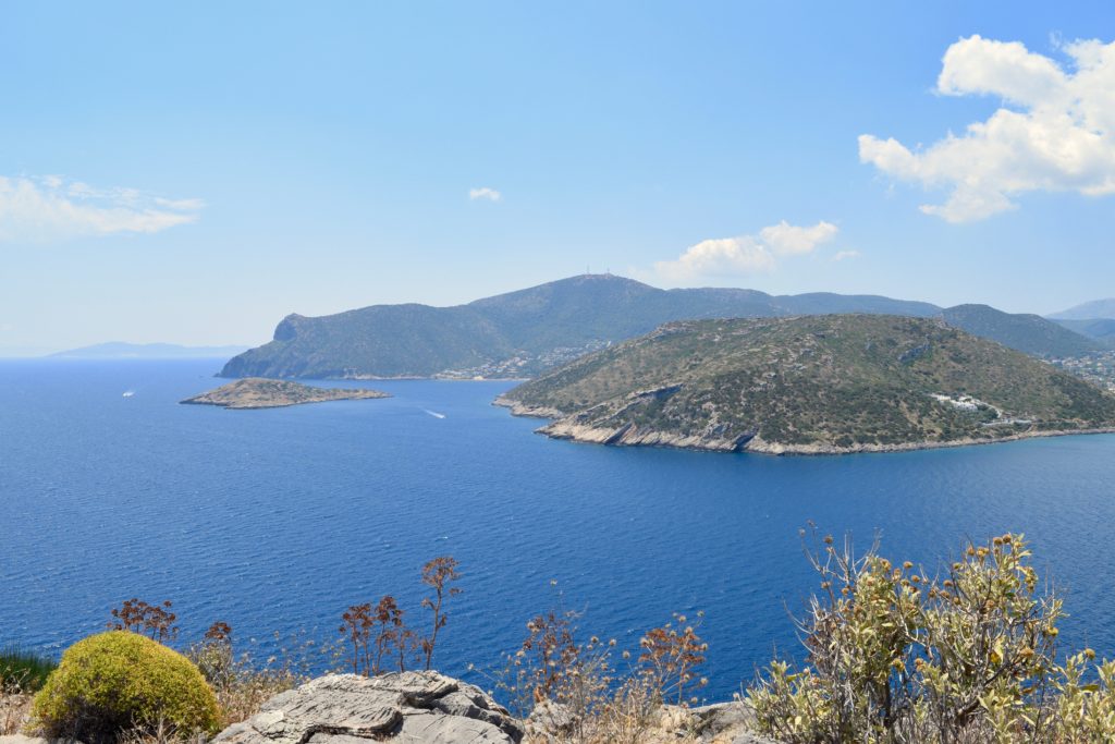
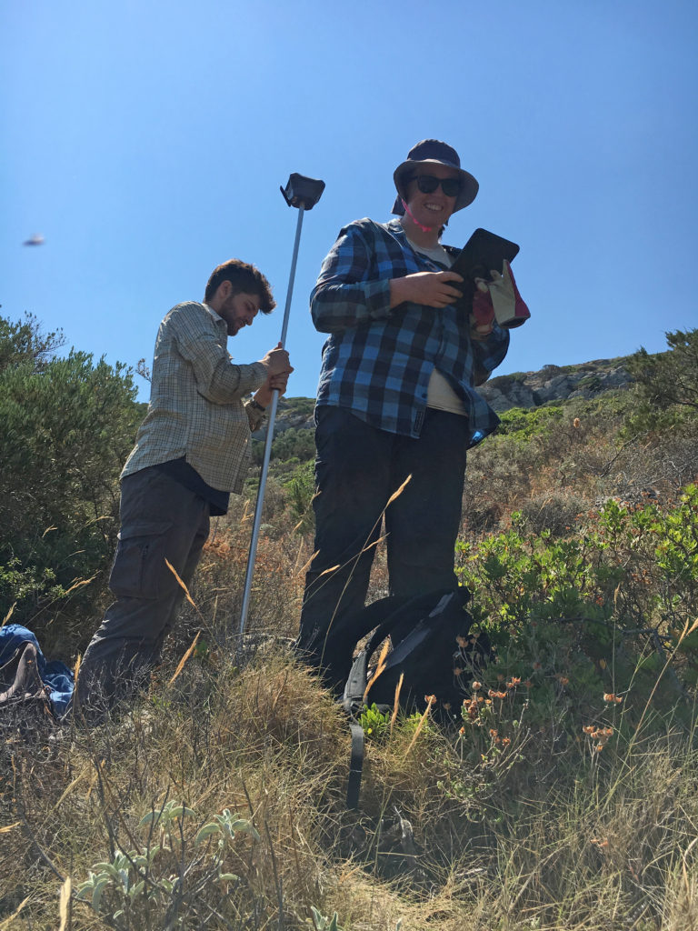
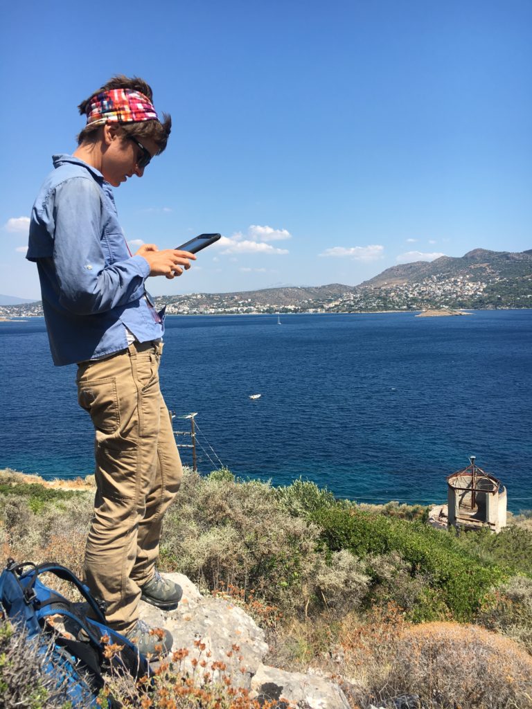
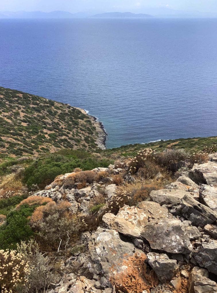
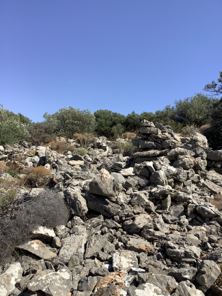
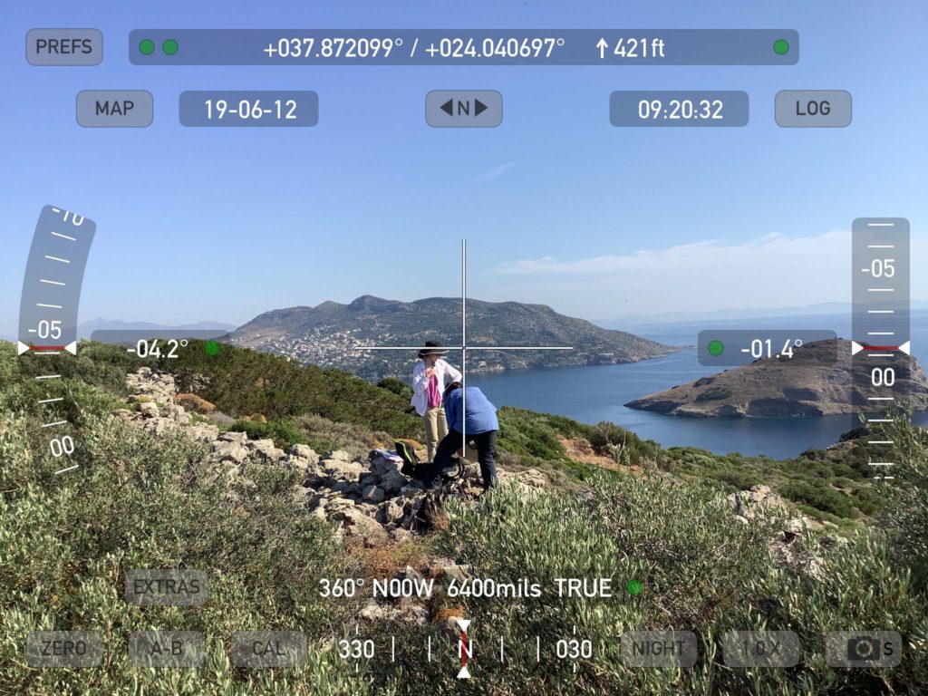
End of Season Art from BEARS 2019

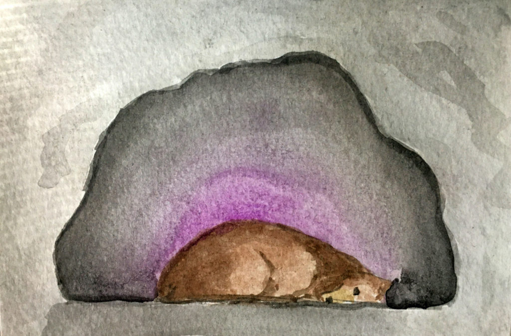
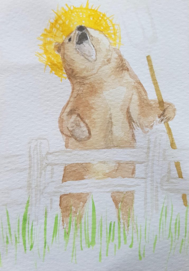
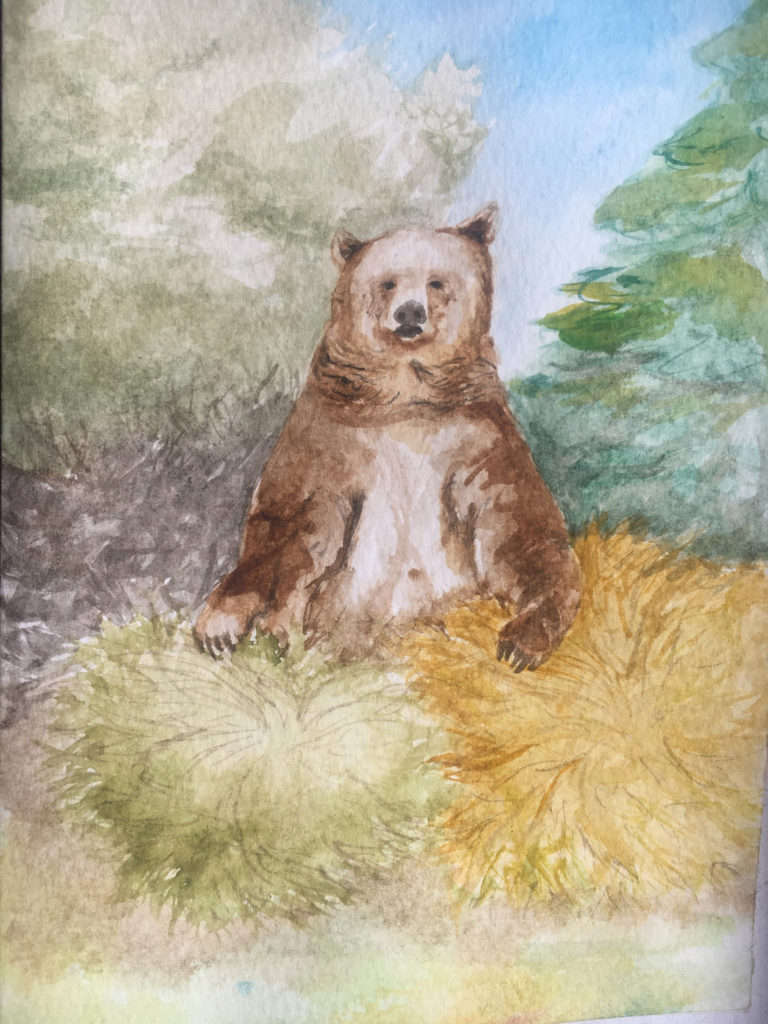
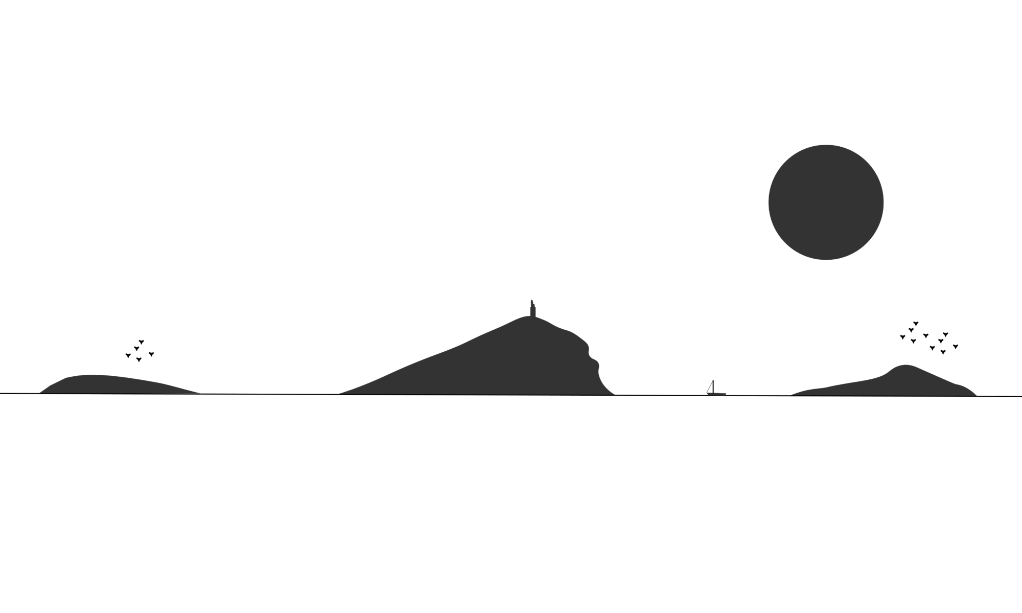
There is a lot of talent on our survey project, and I’m not just talking about intellectual or academic superstardom – for example, one team member is a known unicycle phenom, and another has a secret prior career of jumping award-winning show ponies. Isabella Vesely, an undergraduate at Western University in Ontario, is a gifted artist and illustrator as well as a valuable member of the BEARS project. Last year she spent the final week of the project drawing some of the catalogued finds collected in 2019. Unbeknownst to the team leadership, she was simultaneously making a series of beautiful bear-themed cards that were presented to staff members at the end of the season. They are pretty awesome, and with Isabella’s generous permission, we now release them to the wild (or at least to the wild of the handful of other humans who ever look at this website!).

Pratt Bear has dominion over the many secrets of Raftis island (drawing by I. Vesely)
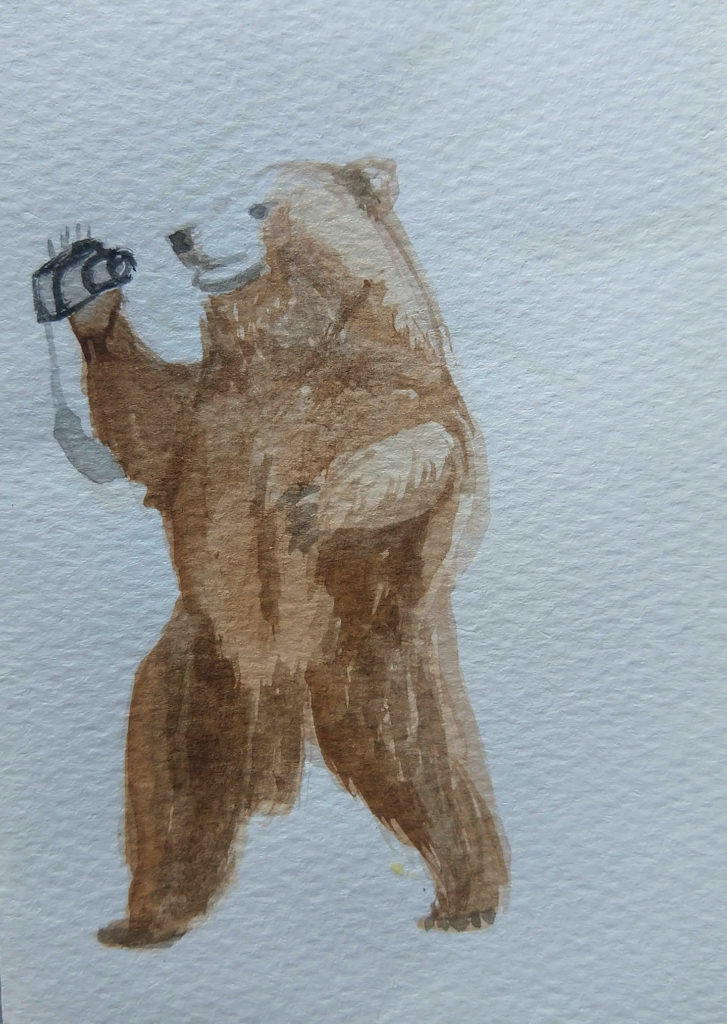
Rob Bear getting his photography on in the minimalist void of the Brauron Museum (drawing by I. Vesely)
Erny Bear knows the extreme importance of the siesta nap for archaeologists of all species (drawing by I. Vesely)
Maeve Bear exalts in the wilderness wielding a spider stick and encircled by an appropriately angelic "Koroni" (drawing by I. Vesely)
Murray Bear emerges unscathed from a rousing session of impenetrable maquis bashing (drawing by I. Vesely)

Archaeologist Confessionals Volume 1: Dr. Rob Stephan

Robert Stephan (University of Arizona) is a Roman archaeologist with an undergraduate degree from the University of Michigan and a PhD from Stanford University, not to mention an all around great scholar and collaborator. He is also a crucial contributor to the BEARS project. He arrived in Porto Rafti prior to the 2019 pilot season to help get everything set up for fieldwork, and then heroically spent much of the season overseeing the organization and photography of finds in the Brauron museum. Prior to joining BEARS, Dr. Rob worked on archaeological projects all over the world, from New Mexico to Armenia. BEARS project management recently sat down with him for a conversation about his experience as an archaeological fieldworker and academic. The following interview has been condensed and edited for clarity.

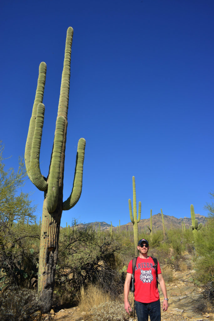
Dr. Rob at home with cactuses in Arizona (photo credit: S. Murray)

SCM: We’ve known each other since we were in short pants but I don’t think I’ve ever actually gotten the full scoop on your entrée into the glamorous and exciting field of Classical archaeology. So, first question: how did you first get into archaeology and why did you choose to pursue it as a career?

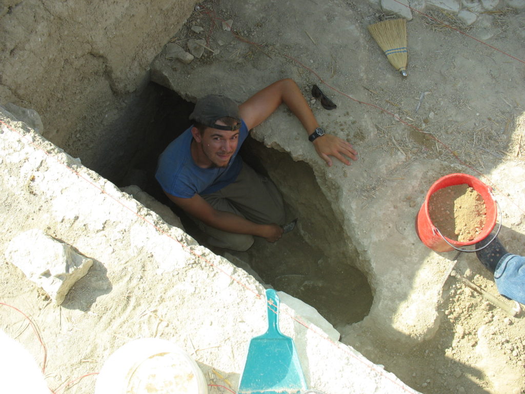
Rob in a looter's pit near Athienou Cyprus in 2007 (photo courtesy R. Stephan)

Dr. Rob: I had no idea going into college at the University of Michigan that I wanted to do archaeology. I’d always liked history. As a freshman, I signed up for an intro to field archaeology course. It was the one course that made me excited to go to class and that made me think “this is awesome!”. At the end of the year, I tried to convince my parents to pay for some kind of archaeological expedition. And I could tell that they were trying to be supportive, but they also did not really want to pay thousands of dollars for me to go overseas. 

I ended up on a field school in New Mexico, outside the town of Truth or Consequences. It was about a two hour ride off the nearest paved road, west into the desert. That first summer we lived on a buffalo ranch owned by Ted Turner and were excavating a couple of different sites that had to do with the Classic Mimbres culture. We lived in tents for five weeks – the longest I’d ever been in a tent prior to that was probably one or two nights. After a week or so the water ran out, and we had to shower in the buffalo tank, but you couldn’t soap up in the buffalo tank, because the buffalo had to drink from it. Instead, you jumped into the tank, and then you jumped out and slathered up, and then you dumped buckets of water on your head. And that’s how you cleaned yourself. At the end of that season, I thought, “THIS IS THE BEST! This is the most fun I’ve ever had during a summer.” And I knew archaeology was what I wanted to do. 

No doubt fresh from the Buffalo tanks (Badlands, USA. photo credit: S. Murray)

After that summer, I continued to explore all kinds of classes, everything from the major new world state-level societies to prehistoric old world stuff, to Classical archaeology. Eventually, after my junior year, I finally got out to the Mediterranean, and that was on a project in western Sicily, which took all the fun parts of the archaeology I’d done in New Mexico and combined it with incredible views of the Mediterranean and wine, which wasn’t particularly good, but it…..existed! I remember thinking at the time (I had just turned 21) that the plentiful availability of cheap wine was very exciting. That summer after my junior year, I decided: Classical archaeology, this is for me. I’m going for it.

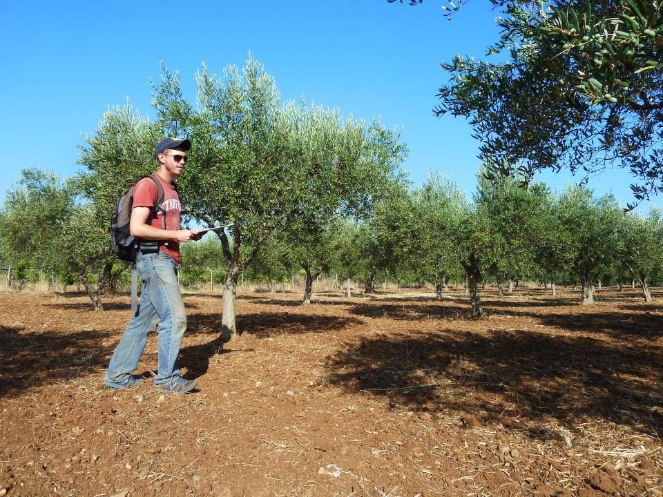
Survey near Borgo Bonsignore Sicily 2012 (Photo courtesy R. Stephan)
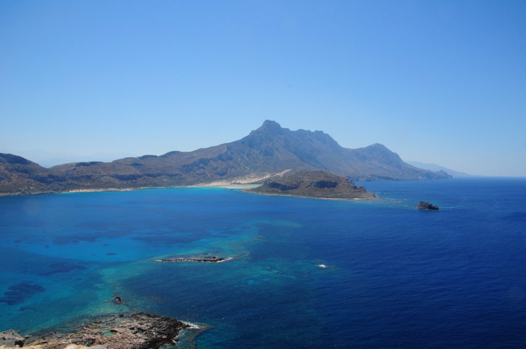
One out of infinite glorious views available in the Mediterranean, here just off the coast of Gramvousa in western Crete (photo credit: S. Murray)

SCM: Wow, these are some priceless anecdotes. You’re such a great storyteller! At this point, since your humble origins in the buffalo tank, you’ve worked on a bunch of different projects all over the place and have a lot of experience. What would you say are your favorite and least favorite things about working on an archaeological project?

Dr. Rob: I don’t really think about this when I’m there, but something that’s great about life on a project is that it’s so different from everyday life the rest of the year. Technology for whatever you’re doing outside of the field disappears – you put your phone away, you put your computer away, and for 4–6 weeks out of the summer, your entertainment is just hanging out with a group of people who are not necessarily the people you would hang out with all the time at home. And you really do spend a lot of time just randomly sitting around and talking with people – in the trench, in the cars to and from work, washing pottery, drinking a beer after work, or wherever. It’s just so different from how much time we spend in front of a computer or a television or a smartphone in our day to day lives today. Probably that’s the thing that I really value the most about working on these projects.

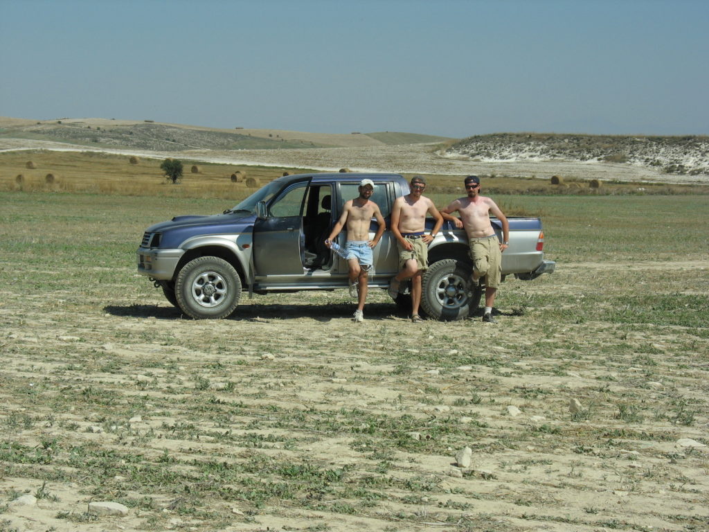
Archaeologist centerfold poses, Malloura, Cyprus in 2007 (photo courtesy R. Stephan)

Another thing that I like is that you’re embedded in a strange culture, but in an unusual context within that different culture, at least compared to what you experience when you are on a vacation. Most of the projects I’ve worked on, whether we’re in a little farm town on Cyprus, or a Greek resort town but one that’s mostly for Greek tourists, or this town that basically got destroyed by an earthquake in the 1960s in Sicily and then never got really rebuilt – they’re not places that you’re going to get on a top ten list for tourists. You also tend to stick around for longer than a tourist – you stay there for a month or two months and really get to know the town and some of the people and find your favorite café and your favorite restaurant and your favorite after-work beer bar and your favorite street dog. I find all of that creates a really enjoyable and fulfilling experience abroad.

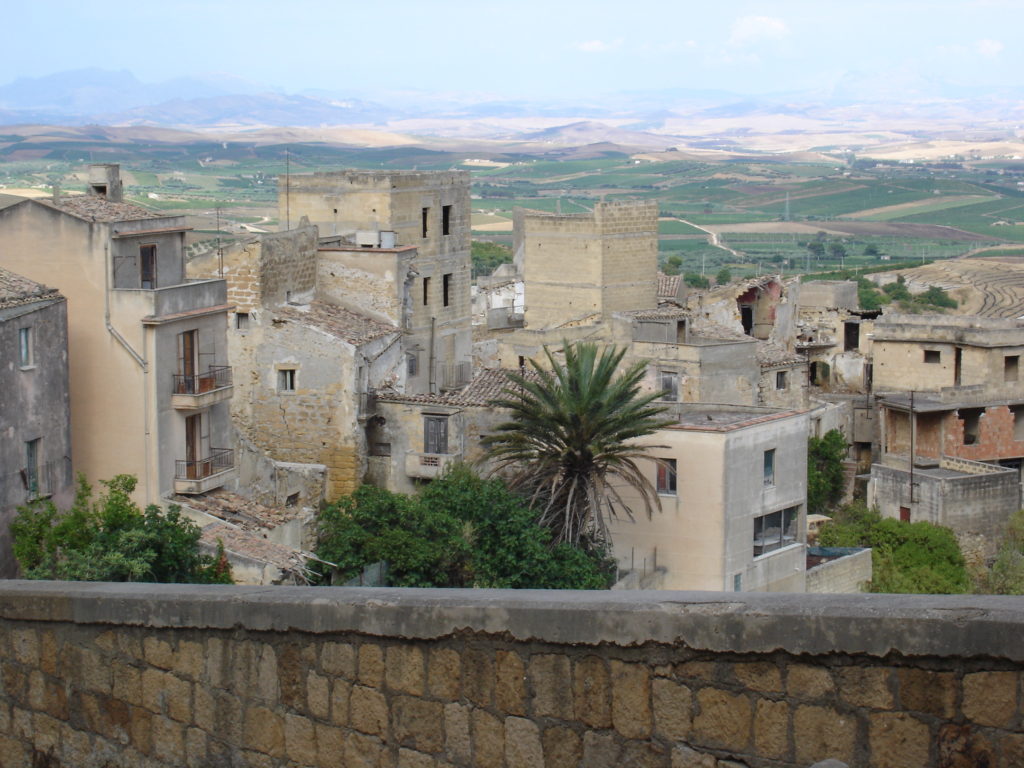
Salemi Sicily - not exactly a tourist town (photo credit: R. Stephan)

In terms of what I don’t like, I’m really spoiled when it comes to sleeping at a comfortable temperature at night. I live in Tucson now, and tonight it’s going to be 106 degrees! During the day, you don’t even want to put your air conditioner below 78 degrees, because your air conditioner can’t handle it and it will blow up. However, at night I refuse to sleep at any temperature above 70 degrees. I need my house to feel like an ice cube. It is very difficult to achieve this in a project, because no projects ever have air conditioning. You’re lucky if you get a fan. So one of the first things that you want to do – I recommend this to anybody! – is scour the house that you’re in for a fan and try to get it before anybody else. Because there might be one for like 6–10 people staying in the house and you’re really going to want to get that first.

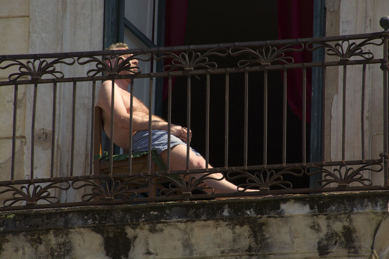
Alternatives to air conditioning on a fieldwork project (hot July balcony settin', Palermo. photo credit: S. Murray)

I guess otherwise it’s difficult to keep personal relationships going with people who aren’t in the field with you, in large part because of the time difference. My partner works in New Mexico, and when I want to talk on the phone she’s in the field and when she wants to talk on the phone it’s 5:30 in the morning in Greece. It can be difficult to synch up and maintain a proper communicative connection when you’re so far apart timewise.

SCM: Unlike many archaeologists (including me) who get obsessed with a particular country and just work there pretty much their whole career, you have been omnivorous in your approach to choosing fieldwork opportunities. You have worked in a wide variety of regional contexts: New Mexico, Italy, Cyprus, Armenia, England, and now Greece. Any thoughts or reflections on differences among work or life in these various contexts?

Dr. Rob: One of the big differences is what you can walk to from wherever you are staying. In Armenia, for example, we lived on a pig farm in an area that was very rural. You could do all the things you’d do on another project – have a beer after work, hang out and talk to people – but you couldn’t go anywhere else to do it. You were in the field and then you were on the farm, and that was it. Everywhere else I’ve worked – England, Cyprus, Greece, Italy – we’ve been in really small towns, but in all of those places you had opportunities to walk into the small town and go to a café or a restaurant or a bar. And that makes a really big difference in the nature of day to day life for members of the team who don’t have a car.

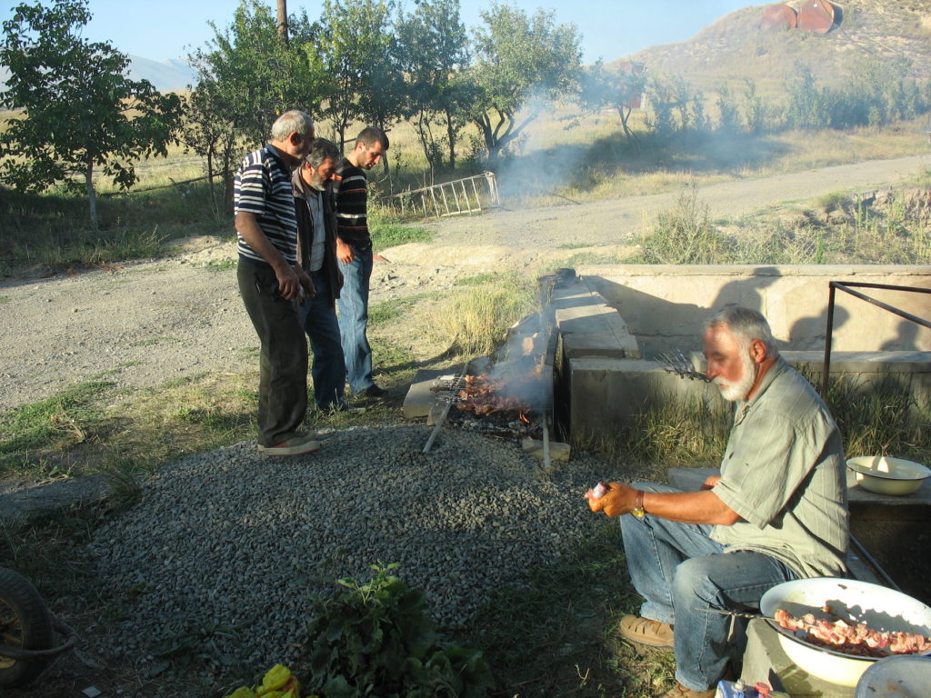
Pig farm in Sisian Armenia - how many archaeologists does it take to cook dinner? (photo credit: R. Stephan)

The other big difference, in large part, depends a lot on your own attitude and state of mind going into it. Sometimes in a summer I’ve worked one project for 3–4 weeks, but other summers I’ve worked on 3 projects for 4–5 weeks each all stacked up in a row. By that third project, even if conditions are similar, you are going to feel totally drained. And those things that you found totally charming about project one – being disconnected and away from things – by the third project you just want to go home and get back to civilization. So I think my experiences have been colored a lot by where I was personally and in terms of my energy when I went on these different projects.

SCM: Turning now to current events, one thing that people have been complaining about during the pandemic is that they can’t get a professional haircut. In all of the realms in which you operate, you are widely renowned for always having a really fresh fade. But this must be a challenge in a fieldwork situation as well as during a pandemic – how do you manage to maintain your signature good grooming in these remote locations?

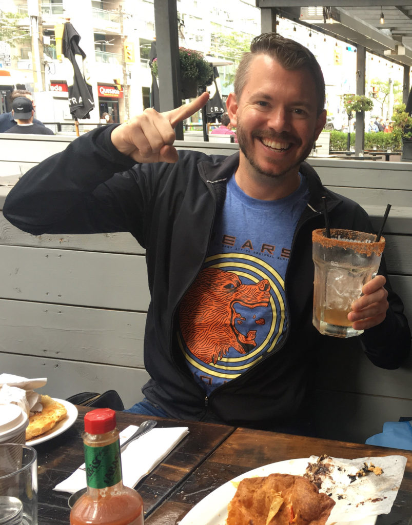
Number one top rated in fresh fades (photo credit: S. Murray)

That’s an excellent question. I’ve had both good and bad experiences. There are a couple of rules that you’re going to want to abide by. First, you need to get a haircut right before you leave. You gotta lock down an appointment for the day before you fly. And that’s gonna get you halfway through the season. People are going to see it and recognize: WOW. That guy has a really fresh fade. The question then is: what happens afterwards? And, again, this kind of depends on the length of the summer. Can you just push it out to week five and then go home and get another haircut? Fine. But what if you have things after the project? Then something needs to happen with something. And fast!

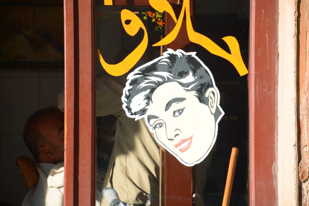
I'll have what he's having (a barber at work in Taroudant, Morocco, photo credit: S. Murray)

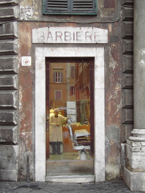
One year I was in Rome after a project and I thought: how cool would it be to get an authentic Italian haircut with the classic Italian barber experience? I scoured the internet – this was back in 2008 – and me and my friend Dave Rosenthal decided we were going to go together and get authentic Italian haircuts at a place we found somewhere north of Piazzo Navona, kind of near the Mausoleum of Augustus. We walked into this little place (you could barely make out the faded paint above the door reading Barbiere) and there’s this old guy, Enzo, the barbiere himself! And I think: This is it! This is exactly what I’m looking for. 

Barbiere di Roma - corner of Via dei Portoghesi and Via dei Pianellari (photo credit: R. Stephan)

Enzo doesn’t even ask you what kind of haircut you want, Enzo is just giving you the haircut that you need. He’s cutting your hair and the whole time he’s sayin’ stuff like ‘bellissimo, bene, bene, bello’, which is amazing. So me and my buddy Dave Rosenthal got these haircuts. They were pretty good. And it felt like the experience I was looking for. We go out to pay and we’re thinking: what is this going to be, like 8 Euros? But we get to the till, and the guy says, that’s going to be 95 Euros for the two of us! And then of course he acts like he doesn’t understand any English, which he might not have, so all we could do was pay our 95 Euros and walk out of there with our authentic haircuts. We felt like we got taken for a little bit of a ride, but we were very happy with the experience.

I’ve also tried other strategies, where I’ve put my trust in other team members from the field. The lesson I learned from that is that it’s actually worth it to pay Enzo the 95 Euros. For example, one summer I was in Armenia and I thought towards the end of the project it would be really cool to get a Mr. T haircut – you know, the mohawk down the middle of the head. And I think, whatever, at the end of it, if it looks stupid, I can buzz my head and it will grow back out eventually. So immediately, the person who’s giving me the haircut takes the electric razor, and instead of shaving everything except the strip down the middle of my head goes and shaves the strip right down the middle of my head! There are not a lot of haircuts that you can really go to after that’s the starting point. I don’t really remember what we tried to do with it after that. I think we tried to try to cut several other strips into my head maybe to try to make it look like a Michigan football helmet or something. But whatever happened did not work, and it led to a very embarrassing appearance at breakfast the following day.

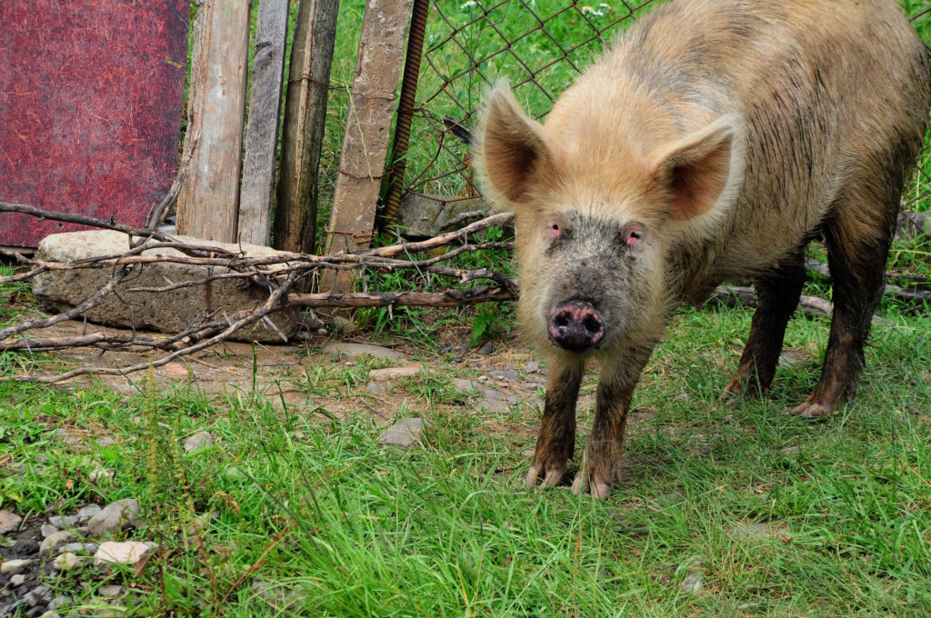
Shaggy fellows of all species wish there were more salon options on the Armenian pig farm (guard pig at the site of Vani, Georgia. photo credit: S. Murray)

SCM: These are really the two extreme poles of the haircut experience!

Dr. Rob: But that’s part of the excitement of being in the field.

SCM: Exactly! Now one of the things that I noticed on the BEARS project last summer is that you were not only working full time on the project, you were also teaching multiple classes and tutoring people online at the same time. I’ve never seen anyone do that before, and I wondered how you managed to juggle all those responsibilities at once while also seeming to have a good time and hang out with your friends?

Rob's eye view of a lunch break in Porto Rafti (photo credit: R. Stephan)

Dr. Rob: Well, a lot of the reason I was working so hard stems from the fact that I’m not a tenure-track professor. So I’m always a little bit on edge in terms of career type things, wondering whether the job I have is still going to be around in 5 or 10 years, or whether I’m going to have to pivot to something else. It also comes out of taking a number of years after grad school to find any kind of academic job at all. During that time, I picked up a number of different things to do: online teaching as an adjunct, one on one tutoring for academic writing, standardized test preparation – and by the way, if you need any of these things, check out DrStephanTutoring.com: it’s really a top shelf educational experience. Some say it’s even number one top rated.

It always, always starts with confidence

Now the reason this can work is all about the summer. During the summer the students have a lot more flexibility than they do during the academic year. That’s the time that you really make and keep those connections going, in terms of tutoring and teaching. Although it’s a lot of work to maintain that kind of work during a field project, it’s just too much of an opportunity to lose for a person in my position.

It’s also much more doable than people might think. As long as you put in a lot of work before you go to the field it’s very manageable. For an online course that means putting together all of your lectures and assignments and readings before you go. On the tutoring front, it’s a similar thing: you make sure that all your materials are ready to go, so when you have that hour or hour and a half long session with a student, all you have to do is that session, and then you go right back to fieldwork life. The other thing that’s helpful is that I tend to work in hot enough places that the day ends around 3pm for a siesta, so you do have time to do afternoon work as well.

Rob at a rare break between work tasks in Porto Rafti (photo credit: R. Stephan)

SCM: Those are good points, both about the unfortunate proliferation of contingent positions requiring side hustles in academia, and the importance of careful preparation prior to teaching.

Dr. Rob: Yeah, it’s just like any class – the preparation is the majority of the work, and the actual teaching time is just a very, very small proportion of the work that it takes the teach the class overall. Most of the teaching work is always frontloaded.

SCM: Wise words, wise words, as always from Dr. Rob. Now, final question: what did you think about living in Porto Rafti and working on the BEARS project overall?

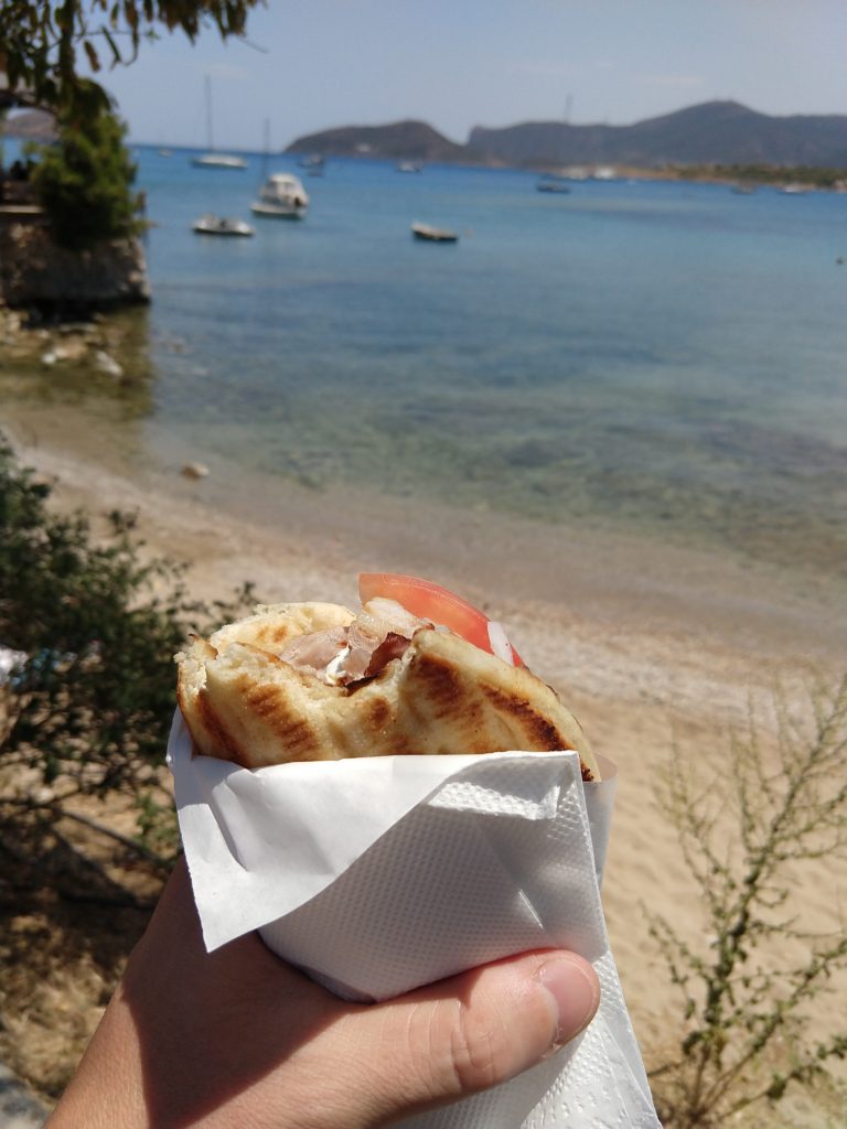
Porto Rafti bay, as seen from the best gyros spot in town (photo credit: S. Murray)

Dr. Rob: Porto Rafti exceeded all expectations. Even though I’ve been a Classical archaeologist for a very long time, I’d never done fieldwork in Greece before, and I’d always worked in rural places. Porto Rafti was a beautiful mix between feeling like you’re in a remote little seaside town, but also being less than an hour from Athens and having any sort of amenity that you wanted. I’d also never worked in a place where you could walk to the sea before, so it was really an awesome experience to come back from the field, get cleaned up a little bit, then go down and have a coffee and do my work overlooking one of the most beautiful bays that I’ve ever seen. The physical location was really spectacular.

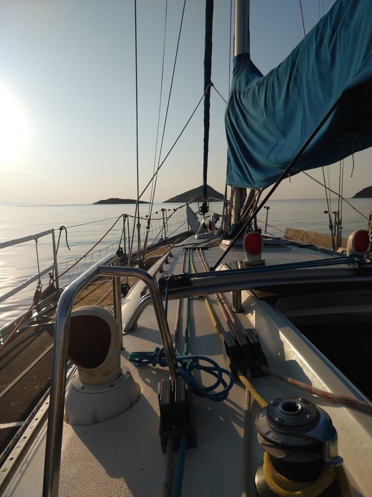
Setting sail in Porto Rafti during the 2019 season (photo credit: R. Stephan)

The town also has an interesting mix between small basic fish tavernas and weird night clubs that Athenian youths would come to on summer weekends, so that was funny: you could go to an old-school taverna and eat a grilled fish that you picked out from the day’s catch one night and then to a bar that specializes in pseudo-Mexican cuisine and fiesta music the next night. It’s not a boring town in that sense.

One of the cool experiences for me was being there on the ground in the days leading up to the pilot season, and also for the start of the work itself. All of the other projects that I’d worked on were larger operations that had been going on for a number of years before I’d shown up, so I just fit into whatever system was there. This project was exciting because we were really problem solving as we went, even for things just as simple as the most efficient way to get from point A to point B. Being part of the skeleton crew that figured those quotidian issues out was a fun and new kind of challenge for me. 

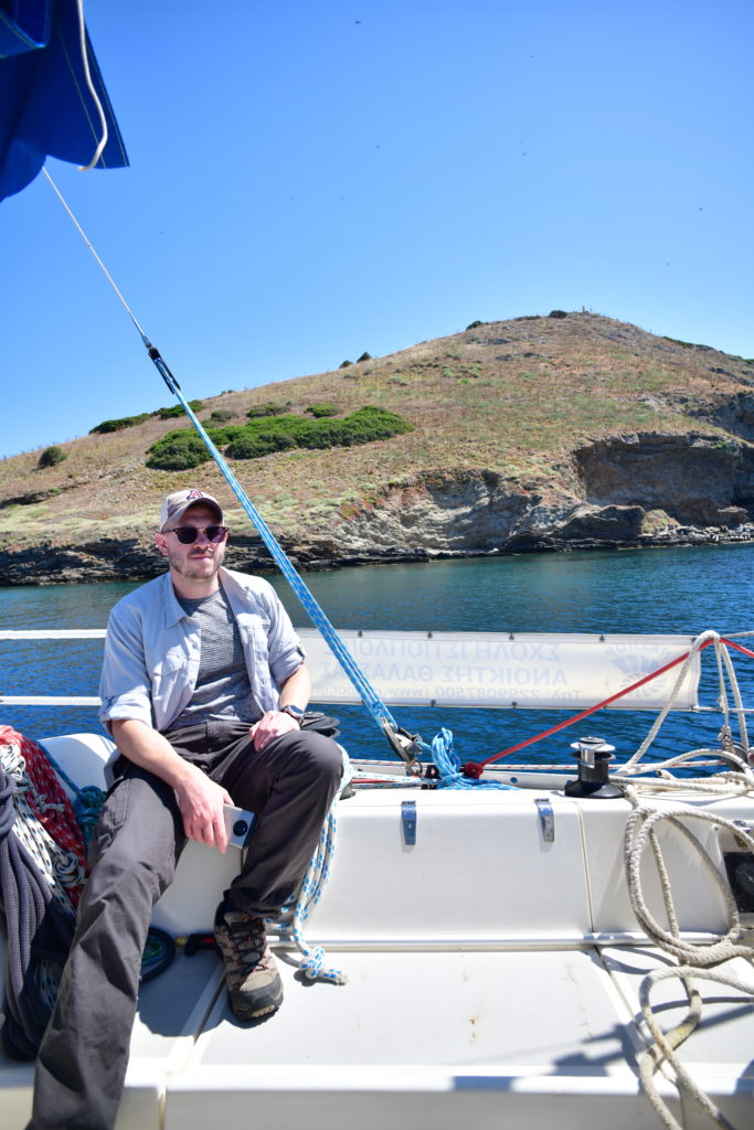
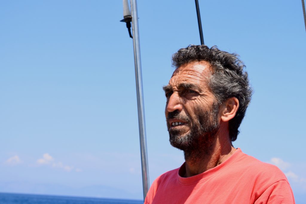
"Captain" Rob above board en route to Raftis (photo credit: S. Murray)

We also had a relatively small team, compared to other projects I’ve been on before, so you got to know everyone really well. The small size of the team made it possible to do things that you just can’t with a huge team – going out to dinner with everyone all together, making real-time adjustments in terms of what people are doing and how it’s being done. 

The other great thing about BEARS was the problem oriented nature of the survey. Compared to some of the excavations I’ve been on, which often seem to be aimed at learning a lot in general about a single site, or surveys where the aim is to learn about the diachronic occupation of a general area, BEARS is tackling a few much more specific questions. This is kind of cool, because as the data is coming in, it’s not just different numbers of different types of sherds. You’re getting real clarity on fairly specific questions in pretty much real time. That has been an interesting and unusual intellectual aspect of working on the project.

So those were a couple of things I really enjoyed. 

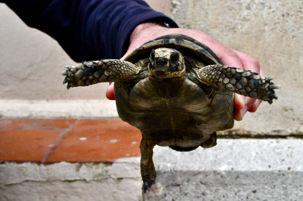
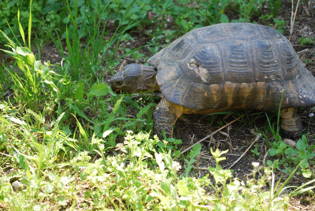
Also, top shelf leadership. And top shelf turtles.

SCM: Fully agree! Let’s end on that note. Thanks Dr. Rob!

It is too bad we can't find a way to change the project acronym to TURTLES.

A Tale of Two Surveys: from the Western Argolid to Eastern Attica

Editorial Note: This post was written by Grace Erny, one of the BEARS intensive survey directors.

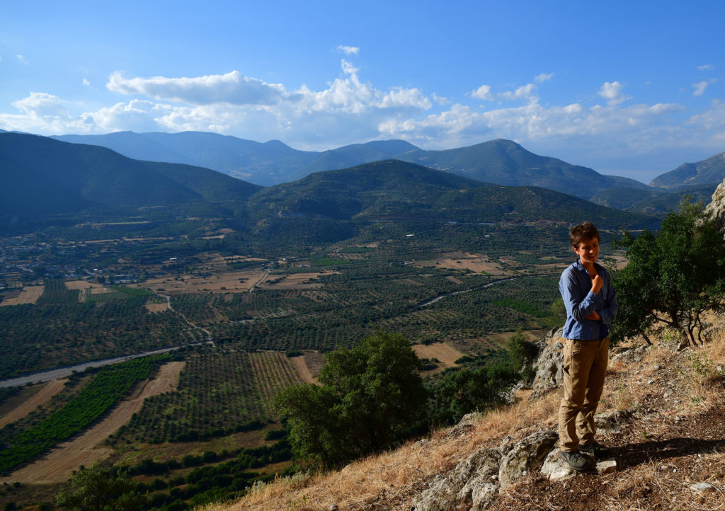
A glimpse of the surveyor in its natural habitat, above the Inachos river valley, in summer 2019 (photo credit: S. Murray)

The first time I worked on an archaeological survey in Greece (or anywhere), it was May of 2014. I was 23 years old and had just finished an MA at the University of Colorado. I had also spent many anxious hours over the winter and spring trying to learn how to operate a stick shift on the snowy hills of Boulder in anticipation of driving a Fiat Panda full of undergraduate field school students around the Peloponnesian countryside (thank you to Professor Sarah James and my colleague Alyssa Friedman for sacrificing their cars to this noble cause – their clutches probably still haven’t recovered!)

The bicycle-grade wheels of a typical tiny Euromobile, such as a Fiat Panda, can handle a surprising amount of off-road driving, hence their suitability for archaeological survey (photo credit: S. Murray)

This project was WARP, or the Western Argolid Regional Project, an intensive surface survey of the Inachos River Valley in the northeast Peloponnese (just a short drive inland from Argos and Nauplio). After three summers of fieldwork and three more summers of study in the apotheke, the final publication for WARP is underway – I’m hoping to finish drafts of my contributions to the volume this summer. WARP was my introduction to Mediterranean survey, and I really can’t imagine a better one. Our directors (Bill Caraher, Scott Gallimore, Sarah James, and Dimitri Nakassis) gave us a packet of classic Mediterranean survey readings at the beginning of the summer, including Cherry’s “Frogs Round the Pond;” Bintliff, Howard, and Snodgrass’ “Hidden Landscapes of Prehistoric Greece;” and Pettegrew’s “Chasing the Classical Farmstead.” Reading this stuff, together with hours of traipsing around olive and citrus groves documenting terrace walls and surface scatters, introduced me to new ways of archaeological thinking and shaped the dissertation I’m writing now. My time on WARP also marked the beginning of close friendships that have lasted to this day (I’d be remiss not to mention that my fellow WARP veterans Joey Frankl, Melanie Godsey, and Dimitri Nakassis are all part of the BEARS team as well!)

The author in 2014, recording a WARP survey unit. Note the freshly plowed market garden and the Suunto compass dangling from my hand! (Photo credit: Bill Caraher)

WARP used an intensive survey method common on Anglo-American projects in mainland Greece. Each day, we sent out mapping teams to divide the landscape into survey units that were as internally homogeneous as possible in terms of vegetation, surface visibility, and slope. Field walkers then lined up 10 meters apart, orienteering compasses in hand, and walked each unit in parallel lines, collecting any artifacts within a meter of their transect on either side. The team leader (this was my job) came behind them, documenting artifact counts and taking notes on a field form.

Watery environs for gridded collection on Raphtis island (photo credit: K. Alexakis)

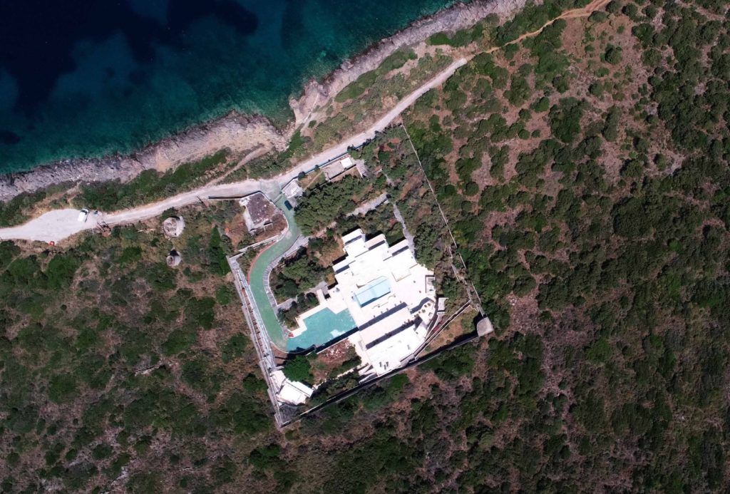
When director Sarah Murray asked me to work on BEARS, a project with an equally excellent acronym, I was excited to embark on the next chapter of my survey career. Every new archaeological project is a learning experience, but the two landscapes studied by WARP and BEARS are about as different as one could imagine. Porto Raphti, the BEARS home base, is a bustling seaside town, with a year-round population of ten thousand that swells severalfold in the summer. It faces a bay dotted with uninhabited islands, and the Koroni peninsula that juts into the south part of the bay is largely undeveloped (though a spooky abandoned walled compound, complete with adjacent windmill, at Koroni’s north tip probably deserves its own blog post).  

Nakassis drone has the drop on the Creepy Koroni Compound (photo credit: D. Nakassis)

Though parts of the BEARS survey area have been cultivated at various times in the past, agriculture and pastoralism have been minimal in recent years across much of the BEARS territory. WARP’s inland survey area forms quite a contrast to this. Though a handful of villages dot the Inachos Valley, much of the valley floor is taken up with crops like citrus, stonefruit, and market garden vegetables, which require plowing and irrigation. The steeper valley slopes were often terraced, sometimes with a bulldozer, and planted with olives; parts of them were covered by thick stands of maquis, the catch-all name for the prickly green shrubs that most surveyors in Greece have gotten stuck in once or twice. Goats and sheep wandered these slopes too. We documented many a mandra, or sheepfold, and I was (rightfully) mocked several times for scribbling “fresh goat poops” on my WARP survey forms.

The glorious survey landscape of the Western Argolid (photo credit: S. Murray)

BEARS’ distinct regional environments and research goals when compared to WARP required a different set of survey methods. In 2019, the BEARS team spent most of our time collecting in 20 x 20 m grid squares in three areas that were known to be of interest from previous excavations (the Koroni acropolis) or extensive survey (Raphtis island and Pounta). This higher-resolution collection strategy was necessary chiefly because the most striking difference between BEARS and WARP (or really BEARS and any other survey project I’ve ever heard of!) was the sheer quantity of artifacts on the surface. I’m sure that all first-time surveyors on BEARS got very sick of my colleague Maeve and I shaking our heads and warning them that the BEARS artifact-palooza isn’t what most survey is really like. In 2019, I split most of my BEARS time between Raphtis island and the Pounta peninsula, a flat spit of land extending out into the bay. In three seasons of fieldwalking across WARP’s 30 square kilometer survey area, our team recovered 161 pieces of chipstone in total. In just forty-five 20 m x 20 m grid squares on Pounta, we collected over seven thousand lithics – mostly obsidian, but with a handful of chert and quartz for good measure. Lithics can be tricky to spot for a new surveyor, but Pounta was a veritable crash course in lithics detection. Within five minutes of survey on Pounta, I had seen more obsidian lithics in the wild than I had over my entire archaeological career of survey and excavation combined (including a year of full-time excavation in the Mesa Verde region of the Southwest U.S., a reasonably obsidian-rich area). On some of the hottest days of our 2019 season, the obsidian on Pounta would heat up in the sun, eventually burning the tips of your fingers as you picked up piece after piece. The ultimate showstopper, though, was when survey team member Kat picked up a small, bowling-pin-shaped Cycladic figurine from the surface – perhaps a tiny stowaway on an Early Bronze Age obsidian-bearing ship from Melos. 

Obsidian debitage: Get 'em while they're hot! (photo credit: P. Sapirstein)

The quantity of finds from Raphtis island was equally overwhelming, to the point where teams collected only a selection of diagnostic sherds from each grid square so as not to overwhelm the apotheke (in contrast, finding a single diagnostic sherd on WARP was sometimes enough to keep a survey team excited for a couple of hours!) The preservation of BEARS sherds was also remarkable. Surface material is notorious for its abraded and worn surfaces, but much of the material from Raphtis island looked like it could have come out of an excavation trench. For me, working on these two projects was a vivid illustration of how much modern land use can affect archaeological surface material. On Raphtis island, away from the constant plowing and animal trampling, the sherds were pristine!

Survey finds on Raftis island (Photo credit: K. Alexakis)

Finding so much well-preserved material on the surface has huge appeal – it’s like the archaeological equivalent of winning the jackpot, all day every day, with no digging required.   Some days, though, I missed the feeling of rambling through a larger landscape rather than crawling on my hands and knees through a tiny grid square, looking for goodies. I’m responsible for writing up the Early Modern and Modern Greek material from WARP, which means that I spent a lot of time on WARP scrambling up to an Early Modern rock shelter (probably used in the Greek War of Independence) and exploring collapsing stone houses at the mostly-abandoned seasonal settlement of Chelmis (and getting caught in a memorable surprise thunderstorm along the way). Both kinds of experiences have their benefits. 

Where I want to retire: Chelmis in the Western Argolid (Photo credit: Kostis Kourelis)

WARP and BEARS are two very different projects, with strategies and goals that respond to the two very different archaeological landscapes they seek to understand. BEARS’ abundance of artifact data at a very high spatial resolution permits us to track the distribution of activities within distinct sites in a level of detail that just isn’t possible with WARP data. WARP’s data, on the other hand, will allow us to write a more continuous diachronic history of a single microregion. As I sit at home typing on my laptop during this very strange summer, I’ll certainly miss both projects quite a bit.

The Appeal of Survey Archaeology

Editorial Note: This post was written by Sarah Murray, one of the project directors, about what makes surface surveys distinct from (and superior to) excavations.

The intrepid survey archaeologist sets out into the unknown (Koloumbi plain, Greece, photo by the author)

When most people hear the word archaeology, they think about digging. Most  famous archaeological sites and objects have been excavated, that is, dug up out of the ground, by big expeditions of dozens or hundreds of workers toiling in trenches to unearth history’s mysteries. Lesser known, at least among people without much professional experience of archaeology, is the other main genre of archaeological project: the surface survey. The point of an archaeological surface survey (like BEARS) is to investigate and document ancient artifacts and structures that are not buried, but sitting in plain site on the ground, usually within a relatively large area. 

Whereas excavation involves digging down through stratigraphic layers to uncover buildings or graves or whatever your site contains, survey involves walking in systematic transects across the landscape and making a record of what is visible on the surface. A lot of people are surprised to hear that you can actually find a lot of stuff this way. But you do! Especially in places like Greece, which is what has been called an ‘artifact-rich’ landscape – once you know what a broken piece of pottery looks like, you see them almost everywhere when you walk around in the Greek countryside. And, mostly, that is what we find in surveys: potsherds, along with pieces of ceramic roof tile and (sometimes) pieces of stone tools or the waste from their production (debitage). Once you get off the beaten track, you find a lot of random architectural ruins out in the Greek landscape, too. So there’s plenty of stuff out there to find in a survey. 

The Skourta plain on the border of Attica and Boeotia is a quintessential survey landscape (photo by the author)

These days, excavation and survey are equally popular and equally respectable forms of archaeological fieldwork, and lots of professionals in the field are equally competent and trained in both methods. However, at least by the time an archaeologist gets into an established career, they will tend to develop an affinity/preference for one or the other, survey or excavation. 

The experiences of working on a dig or a survey are definitely very distinct. When you dig you spend most of your time in one trench, and the work is very slow, deliberate, and fastidious. A lot of time is spent on recording and meticulously documenting what happens in the trench, which is essentially a controlled form of destruction. You often find intact, pristine, artifacts and contexts when you dig. The conditions on longstanding, well-established excavation projects are often relatively civilized. The team is large and made up of lots of different kinds of experts who deal with the various kinds of material collected, including faunal or botanical remains, etc.

Survey has a little bit more of a frontiersman, vigilante vibe about it, because most survey projects take place in undeveloped hinterlands characterized by vast tracts of agricultural land – i.e., the middle of nowhere. The projects usually only last for a few years, so rely on ad hoc accommodations (ask me about the famous Alepochori Trash House). Daily work involves walking in lines and staring intently at the ground trying to identify/count artifacts. Surveys rarely recover well-preserved artifacts: most surface material has been kicking around in ploughsoil for thousands of years. Most of the finds are really worn potsherds. Since the finds are limited in type and range, the team tends to be more homogenous than an excavation team, and everyone does more or less the same thing every day: field walking.

The typical survey find; not exactly a bust of Hadrian or glittery ancient bling (Korfos, Greece, photo by the author)

Reading this basic description certainly does not make survey sound all that appealing. Probably not coincidentally, one thing I’ve observed over the years is that excavation people often tend to think that survey people are a little bit bananas: why ever would you want to wander around picking up beaten up sherds when you could be digging up nice contexts and fancy treasures? While I think survey archaeologists (including me) are actually usually at least a little crazy, there are many (to me) logical reasons that survey is a more satisfying and exciting genre of fieldwork than excavation.

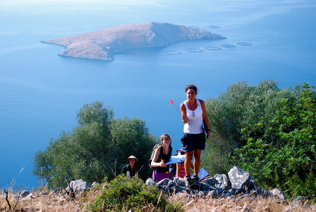
Just a couple of certifiable survey archaeologists! Kat and Herakles take a break on Koroni in 2019 (photo by the author)

Probably the main reason that I personally prefer survey to excavation is that I have way too much kinetic energy, the ultimate effect of which is that I find it very hard to stay in one place for very long. I know it sounds weird that a person who literally gets paid to read and write for most of the year has a hard time sitting still for too long, but it’s a real problem for me. One of the many crazy things that I do to deal with this is run huge amounts every day – regularly about 75–90 miles a week, depending on what else is going on. It’s not because I care about my health or anything (it’s actually supposed to be mostly bad for your health to run that much) but if I don’t exhaust myself physically every day, I find I can’t sit down and focus on things. It is a huge waste of time. I wish I was more like normal people in this respect. Anyway, I just don’t have the constitution to sit in a trench day in and day out to do the meticulous work of excavation. Survey is much more like hiking – you move around the landscape and see different perspectives all the time, which I find much more interesting than being in one place all of the time. Basically, if you have a general love of any kind of perambulation – running, walking, climbing up stuff –you’ll probably enjoy the daily work of survey more than an excavation.

Almost definitely arguing about a wall, Korfos-Kalamianos, summer 2009 (photo by the author)

There’s also a kind of masochistic streak that tends to run through survey archaeologists. If your idea of a good time is sitting on a comfortable chair in the shade eating cookies while you oversee a team of diggers slowly removing loose soil from a habitation surface, you should probably stick to working on an excavation. Survey, on the other hand, almost always requires seemingly ridiculous physical challenges. 

It’s Greece in the summer, so it’s going to be hot, and the big agricultural fields that you’re walking usually do not have any shade whatsoever. Sometimes it’s impossible to even find any good shade for taking a break in, so you just pull up the nearest hot, pointy limestone to sit down on for five minutes, and resign yourself to getting your brain blasted by the sun all day long. 

The quantity of thorny plants in the Greek countryside sometimes defies belief. Even a seemingly innocuous looking wheat field will be full of some kind of thorny underbelly. It doesn’t matter what you do – at the end of the day of survey you will usually end up feeling, to some extent, like a human pincushion. Sometimes you will survey in uncultivated areas populated by very, very thorny plants, generally known as maquis, which are something out of an evil Disney villain’s imagination. The first survey I ever worked on, around the village of Korfos in the Corinthia, involved walking gigantic units of thick maquis forest, and this was quite an amazing joy for any masochist. Half the time you would be doing something akin to surfing on the plants, suspended five feet above the ground by hundreds of thorn claw hands, like a contestant on a rural Greek version of Double Dare. The other half of the time you were crawling underneath a thicket battling hordes of wolf spiders and moving one limb at a time through the impenetrable shrub. We did not find very much that way, but it was certainly something to do.

Then there are the funny intellectual challenges that you are juggling along with the physical ones while covered in thorny wounds and sweating your brain out of your ears. At Korfos a lot of what we were doing in our maquis-filled units was trying to find architectural features. But the team could hardly ever agree on whether a feature that someone identified in a unit was a wall or not, so we’d stand there arguing about it forever. And good luck getting your team to keep a bearing on their compass while suspended in a maquis bush, maintain accurate counts of artifacts in 100 degree heat, etc.

Anyway, survey work is pretty brutal sometimes, but there are people like me who love that kind of stuff. I mean, how often do you get to fight through a thorn bush for the sake of knowledge in your normal life? I’d way rather do any of that than sit in the shade eating cookies all the time. Again, I think this is just an issue of constitution. It is often observed that surveyors tend to have a lot in common with goats.
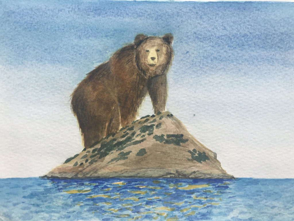
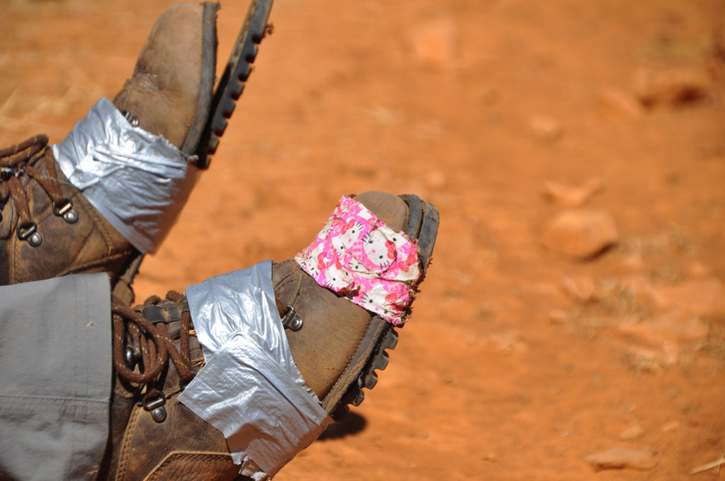
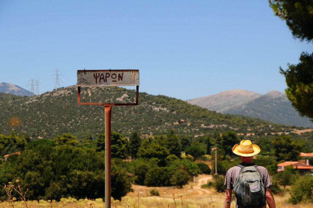
Many a boot has fallen victim to the ravages of surface survey through the ages (Mazi plain, photo by the author)

Ample physical exhaustion tends to cause people to go a little bonkers, and this is another advantage: you spend a lot of time hanging around in strange environments with a bunch of smart, interesting people who are kind of losing their minds. As a result, you can get into some pretty funny shenanigans. I think people on excavations tend to be a bit more serious, because if you mess up on an excavation you actually destroy and ruin the archaeological record in permanent, damaging ways. Survey work is not totally noninvasive – you are removing material from the surface and thus changing the archaeological record – but the stakes are a lot lower. Surveyors have leeway to go a little more berserker in the field. The mood is a bit more mellow in general, which is good for people like me who don’t perform well under pressure.

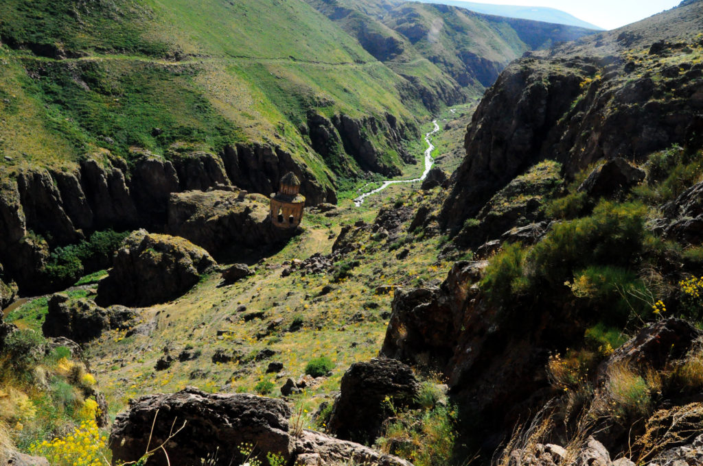
Sometimes you do find stuff; here, a ruined 14th century Armenian church in a magical, forgotten valley of eastern Turkey (photo by the author)

I guess a lot of what I’ve said so far is maybe not making the best advertisement for survey, unless you’re like me and just enjoy all kinds of physical challenges. But there’s more to the appeal of survey than that! Another thing that’s great about it is the sense of anticipation. Most of the time you don’t really find anything that exciting; sometimes you can go for days on a survey and find very little more than nothing. But, it’s always possible that you will find something exciting at any moment! The archaeological record is full of surprises, and you really never know what you are going to discover on a given day or in a given unit. Since you can’t know exactly when that moment is going to come, you have to stay on high alert at all times, lest you miss the exciting thing when it crosses your field of vision. I really like this feeling and I think it’s one reason that I’m a good surveyor: I am very excited about the possibility of what might be there for the finding and remain at sensorial DEFCON 1 at all times so that I don’t miss anything.

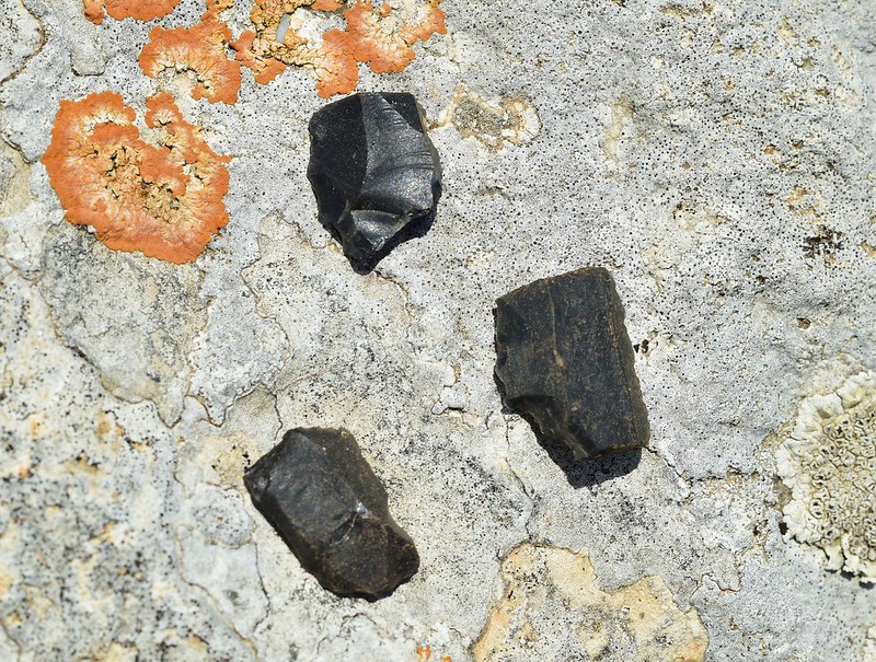
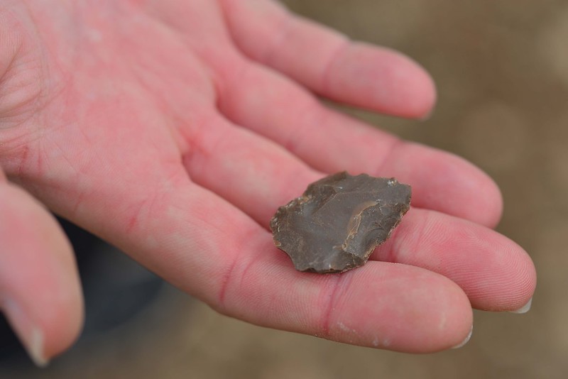
Casual lithic find at the site of Panakton in northwestern Attica (photo by the author)

To have this feeling you do actually have to find survey material exciting. Excavators tend to think that survey finds are just kind of pathetic: certainly they are usually pretty beat up, and they are not always the most visually impressive. But there’s still something pretty cool about  picking up an ancient object that’s just been languishing on the ground for thousands of years. One of my first survey finds was a huge, perfectly symmetrical, yellow chert projectile point lying on the beach of a reservoir in North Carolina (I was working an amphibious CRM survey for the TVA). It was an isolated find, just sitting out there by itself, basically in someone’s back yard. To me, it seemed like a miracle to encounter it there. I guess you need this toddler-like ability to get excited about such small things to really get into surveying. I myself have a completely irrational love of lithics. I find them to be extremely seductive. I never tire of picking them up and gazing upon their many complex surfaces and contours. I couldn’t say why – I’m not a lithics expert and don’t really even know more than basic information about how to read or interpret them. But I never met a lithic I didn’t get excited about.

Slag on the beach at Archamboli in Euboea: it is not made by nature (photo by the author)

Another thing that’s great about doing survey is that it trains your eyes and brain to do incredible things. Most people look at the ground or the landscape and just see ground and landscape. But doing a lot of survey teaches you to do a lot more with the information that you see in the world around you. When you look at the ground you can immediately, without even thinking about it, distinguish any kind of anomaly from what is natural and normal. That’s basically what you are doing when you’re walking a survey unit: scanning the ground and trying to identify anything that looks out of place from the normal natural stuff – rocks, leaves, grasses, etc. Now that I’ve done a ton of survey I find I can’t turn this inner survey cyborg off – my partner always gets annoyed with me when we are on vacation, because I find lithics almost everywhere, and then I get distracted and want to spend a bunch of time wandering around staring at the ground.

Vacation photo, near Mren, eastern Turkey, 2010
Vacation photo, Erg Chebbi, Morocco, 2014
Vacation photo, Akamas, Cyprus, 2015. Wait, what, isn't this what everyone's normal vacation photos look like?

 But I can’t help it! It’s just the way my brain works now. Same goes with the landscape – once you survey enough, you can usually look at a landscape and intuitively know where probable human habitations might be, what sorts of trees grow where water sources are, likely locations for farmsteads, etc. These are pretty cool visual superpowers to have.

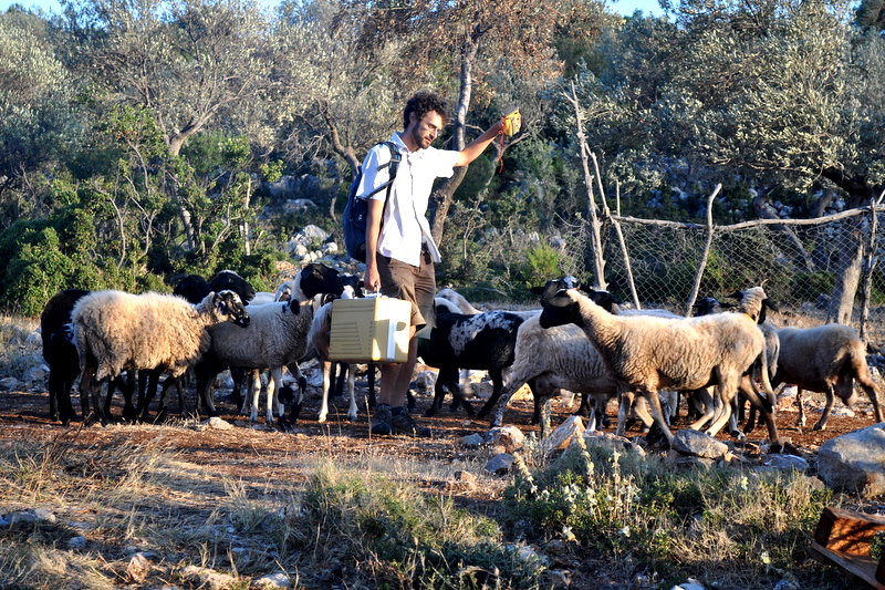
Phil Sapirstein, sheep-whisperer, with his flock at Korfos, summer 2009 (photo by the author)

Finally, you get to hang out with a lot of great sheep and goats when you are doing survey in the Greek countryside: hanging out with sheep and goats is a universal good that is almost certainly the most important reason that survey is superior to excavation. It’s also the biggest bummer about the BEARS project: much to my chagrin, there are basically no sheep or goats in the Porto Raphti region. I guess every project has its strengths and weaknesses.

A team of surveyors demonstrating a case of temporary onset survey insanity (photo by the author)

Survey archaeology is not for everyone, but if you have the right temperament there is really no better way to spend a hot summer day. Survey archaeologists are definitely “my people”. I have had infinite amazing times working in the field with them, not to mention a million fun, weird hangouts during the late nights that followed. We surveyors tend to be a little out of the ordinary, but maybe that’s the whole point.

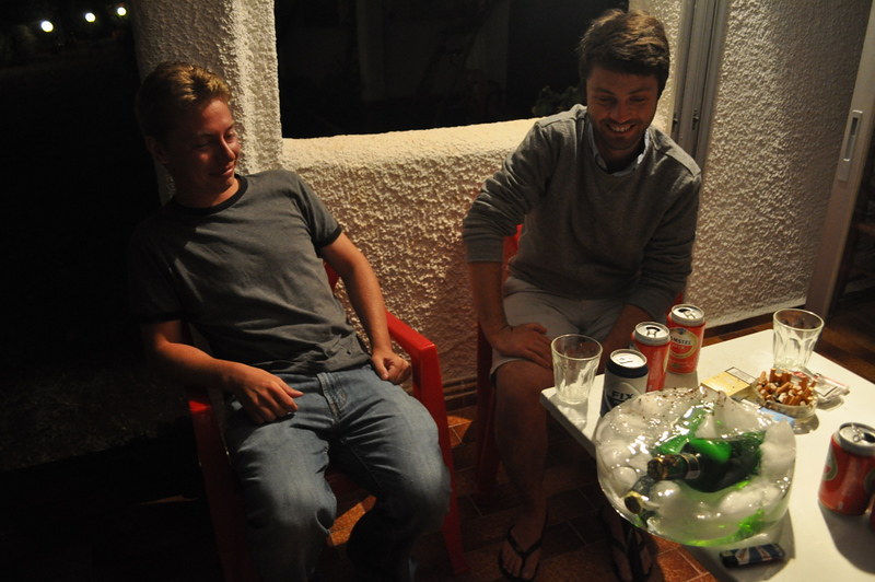
One of many zany porch nights on the SHARP survey: I have a lot of photos of these beers in a giant ice cube, but I don't remember a damn thing about why they were in there.

Stackenblochen Archaeology

Editorial Note: This post was written by Sarah Murray, one of the project directors, about the Stackenblochen approach to managing project data.

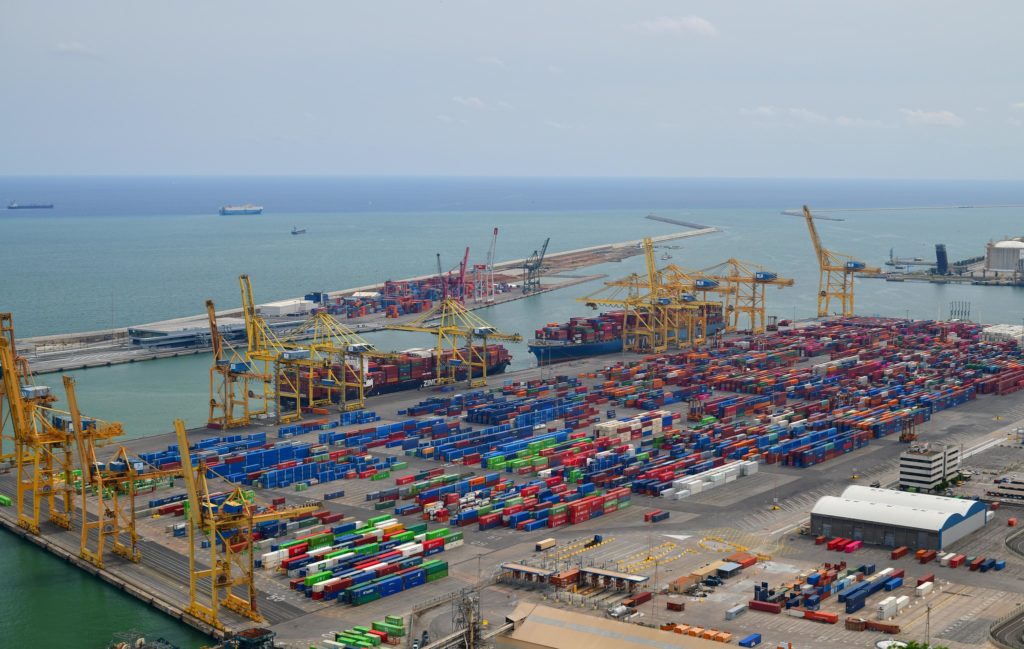
Stackin' 'em up at the port of Barcelona (photo by the author)

Like most normal people, I learned the most important organizing principle of my life and work from a skit on the Conan O’Brien show. Wisdom, thy name is STACKENBLOCHEN:

The skit shows a clip from a fictional German satellite tv program entitled “Stackenblochen”, in which contestants (in the skit, an amusingly frumpy middle aged lady) aim to arrange a set of knickknacks on a table at perfect right angles in a limited amount of time. Once the time is up, a military police looking fellow barges into the scene with an angle ruler and assesses the situation: in the skit he finds that the work is “NEIN STACKENBLOCHEN” and then a bunch of his goon buddies (and a large, gnashing-jawed goon hound!) join him in roughing up the contestant. End scene! 

I guess the video is kind of dumb and now in the day of Infinite Internet Outrage some people might find it horribly offensive. When I first saw it I found it inexplicably hilarious. Anyway, STACKENBLOCHEN is a great word and I have adopted it as a theme for life, in the sense that everything is better if you try to get the figurative knickknacks on your figurative table to be at right angles to one another. In reality, this is just another way of saying that it’s important to be organized and tidy and to not let your life and work turn into a sloppy disaster area. I seriously do not understand how people live with thousands of random objects on their computer desktops or tens of thousands (I have seen it with my own eyes!) of unread emails in their inboxes! Or leave unwashed dishes in the sink, or – horror of horrors – not organize the beer in their fridge according to label color and alcohol-by-volume. Those, my friends, are classic examples of things being NEIN STACKENBLOCHEN.

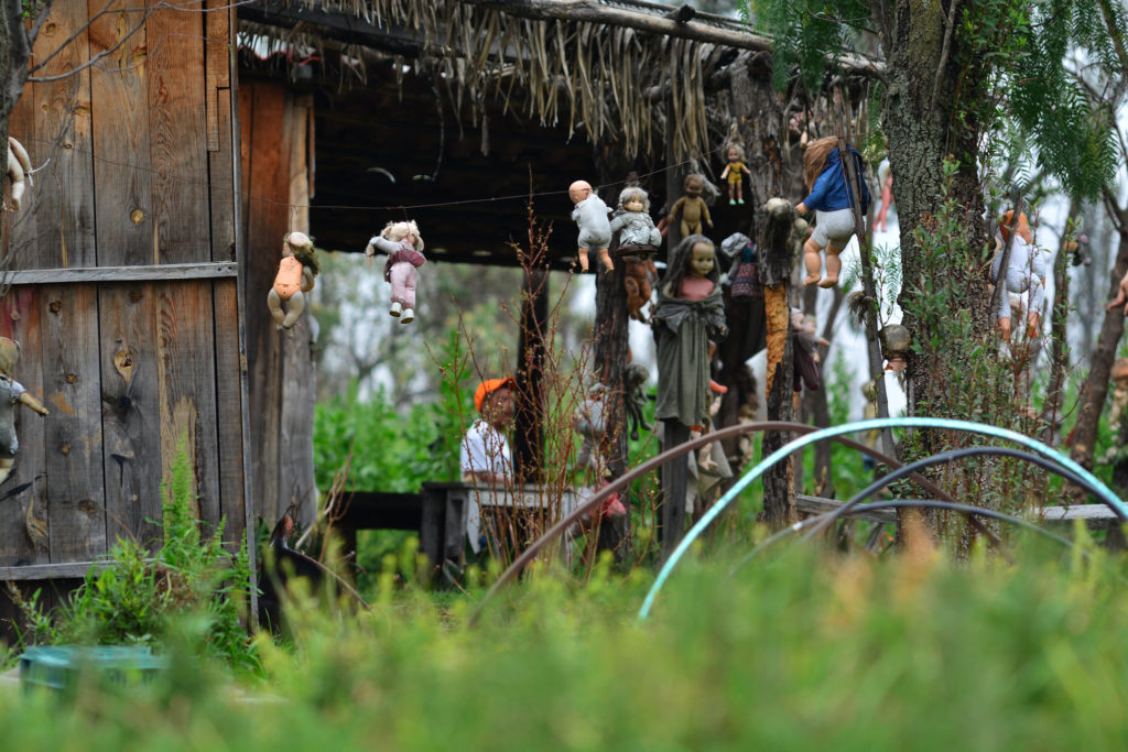
Theme: the unspeakable horror of a poorly managed file organization system (the unsettling scene on the Isla de las muñecas, Xochimilco canals, Mexico City, photographed by the author)

So what does any of this have to do with archaeology? Anyone who has worked with archaeological data, especially in the ‘live’ context of data collection in a fieldwork project, knows that the information that you collect in a field project can be a difficult sort of beast to wrangle. In the planning phases of any project a lot of tricky work and thinking has to that go into deciding what kind of data will be recorded in the field, how to structure data entry forms and make sure fields will be entered consistently, and how different data will be related to its counterparts within the larger design of databases. But even when all that is thoughtfully done and optimized, there are inevitably problems that emerge during actual work in the field that result in sloppy or messy data being entered into your carefully constructed data design masterpiece. Some of these slop events relate to human error – most projects will have multiple people entering data at different times, and there is always going to be variation in the way that people spell unfamiliar words (I’ve seen at least 10 different spellings for “maquis” through the years!), describe features and characteristics of units, or organize their notes. People in the field tend to get tired and hungry and sometimes the glare on iPads used to enter data makes it impossible to see what you’re typing, and all that leads to mistakes. The machines we use to measure and record things often malfunction, or we mess up when we use them because we usually enter the field fresh off a year of teaching and writing indoors and forget their endearing quirks and special needs. Then there is the more fundamental issue of the archaeological record – it is kind of a wild animal in and of itself: we can try to make our units regular and record vegetation, geology, erosion, and other things that impact the data that we collect, but it is my experience that archaeological data almost always wants to be a little wonky. It resists being smooshed into the tidy data entry boxes with which we want to tame it.

It's easier to herd plastic pigs than real ones (merch on display in El Zocalo, Mexico City, photographed by the author)

Put another way, no matter how much you fight to make your data STACKENBLOCHEN, you will almost certainly always fail. Or anyway, I’ve never seen any such thing as a perfect set of field data. There are various ways that archaeologists can approach this problem. 

The first approach is to accept that there is going to be some level of chaos in the data and come to terms with this state of affairs. If chaos is gonna chaos, you might as well just blast through with the fieldwork and let the chips fall where they may. A part of this attitude seems to entail a belief that the niggling details of the data just don’t matter too much: the big picture will be clear even if some small errors creep in at the edges, so there’s no need to really worry about how these can’t ever be fully eliminated.

Another attitude would be to enter into a fight to the death with data slop! Some noble archaeo-warriors refuse to accept that there will be any errors or problems with the data whatsoever. I admire this attitude: the belief that somehow through constant vigilance, errors and inconsistencies in the data can be entirely wiped out and eradicated, like a pestilence! Our data will then achieve the holy state of true Stackenblochen nirvana.

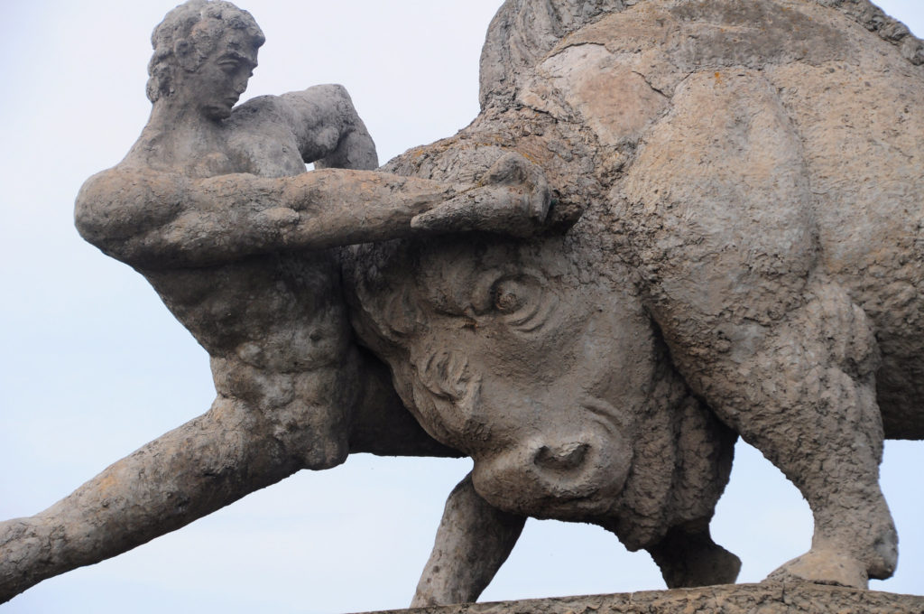
Heroic battles with data slop be like (an inspiring concrete statue near Rustavi, Georgia, photographed by the author)

In my experience, neither of these (caricatures of) attitudes is really the right one. If you don’t accept that there are going to be problems with your field data, I think you’ll go crazy, because there are going to be problems. But I also think that if you relent in trying as best you can to make your data perfect, you’ll end up with a truly awful mess at the end of the day. As is often the case in archaeology, we basically have to try to strike a delicate balance between pragmatism and OCD. You have to both accept that at the end of the day your data won’t be perfect, but also strive every day to come as close as you can to approaching perfection. 

I suppose this is an extension of one of the interestingly contradictory aspects of fieldwork. We’re supposed to be doing really systematic work and coming to conclusions based on ‘data’, kind of like a scientist would. But our data is almost always somewhat messy and archaeological interpretation is notoriously tricky – it sometimes feels like we basically never know anything for certain, no matter how hard we try. The evidence is just really hard to pin down: you can say some really specific things about a site, but once you start to generalize or move to a bigger conclusion, it’s hard to get the data to synch together into some coherent picture. Maybe this is why archaeologists get so excited when ‘real’ scientists show up and tell us that they can conjure things like ‘absolute’ dates or definite material proveniences.

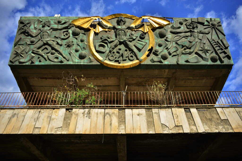
Surely the scientists can save us from this woeful uncertainty (decor of a defunct science ministry building in Tbilisi, Georgia, photographed by the author)

Returning to the issue of the Stackenblochen, I thought about this video a lot the very first time I was given a position of any responsibility on a project: setting up and running the Total Station on an excavation. At first things were quite gravy: all I had to do was survey out the trenches, which meant a whole day out at site on my own, playing with an expensive machine, making squares, and pounding in rebar at the corners – pretty fun stuff. However, once the excavation started everything was totally crazy. There were a lot of active trenches, and every time one of them reached the end of a level they needed to get elevations before they could keep digging. I was running all over the place trying to keep everyone properly supplied with elevations and simultaneously keeping appropriate notes for my records. The physical work was pretty intense, and there was a lot of pressure. The excavation was a pretty special and sensitive transitional Late Bronze to Early Iron Age site, and folks in charge of trenches were taking a lot of care with the digging. Some of the passes were only a couple of centimeters deep, so if I messed up the station setup from one day to the next, the data would be a disaster, with lower levels registered above higher ones, or vice versa. If that happened, the ceramicists and other object analysts wouldn’t be able to piece together the whole picture for the publication, and on down the line to complete entropy! I had just graduated from college back then and the responsibility was overwhelming: everyone was depending on me, and I really didn’t want to screw everything up! Almost every day at the end of work – sometimes I’d work on site from 6am–8pm! – I’d sit with my computer and check every data point from the previous day to make sure it all made sense. If something was clearly wrong, I’d tuck my tail between my legs and go talk to the relevant trench supervisor immediately the next morning to figure out what had happened/what I had messed up. Usually we could figure out the problem and correct it without too much lost time.

This was an important lesson that I have carried with me for the rest of my career: if something is messed up, which it sometimes will be, it is infinitely easier to fix it right away than to try to reverse engineer some kind of fix days or months or years down the line. Mistakes with data are like missing persons cases: if you don’t solve it within 24–48 hours, the chances for a happy resolution diminish dramatically. All problems are easier to fix the sooner you get them dealt with, but I find this is very true of problems in archaeological data.

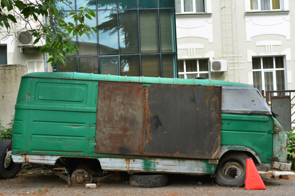
It will only get worse if you don't fix it now (a beat up van in Tbilisi, Georgia, photographed by the author)

Along the same lines, one of my most important jobs at BEARS last summer was sitting down with the data at the end of the day every day, and again on the weekends. Although we had a great team and everyone did excellent work, it’s still good to have someone overseeing all of the material coming in from the field and the lab and ensuring that it is, in fact, Stackenblochen: checking to ensure consistent spellings in note entries, making sure that photos coming in from the lab all had labels and were in correct focus, etc. 

It was certainly not always what I really wanted to be doing at the end of a long day of work, and nobody likes to be the military police goon with the angle ruler chasing down team members and telling them they have to redo some work because it is “NEIN STACKENBLOCHEN”! But the mistakes, big or small, that you catch that way, not to mention the mistakes you and your team avoid by being fastidious and tidy throughout, really can produce substantial problems for the analysis of the whole, especially if you let weeks, months, and years of them accumulate. Anyway, being the Stackenblochen enforcer isn’t the best, but it sure beats looking back at your data at the end of the season, or years later when you go to try to publish the whole thing, and realizing that it’s a mess and you have no idea what happened! At that point, the gnashing-jawed goon hounds are already at the gates!

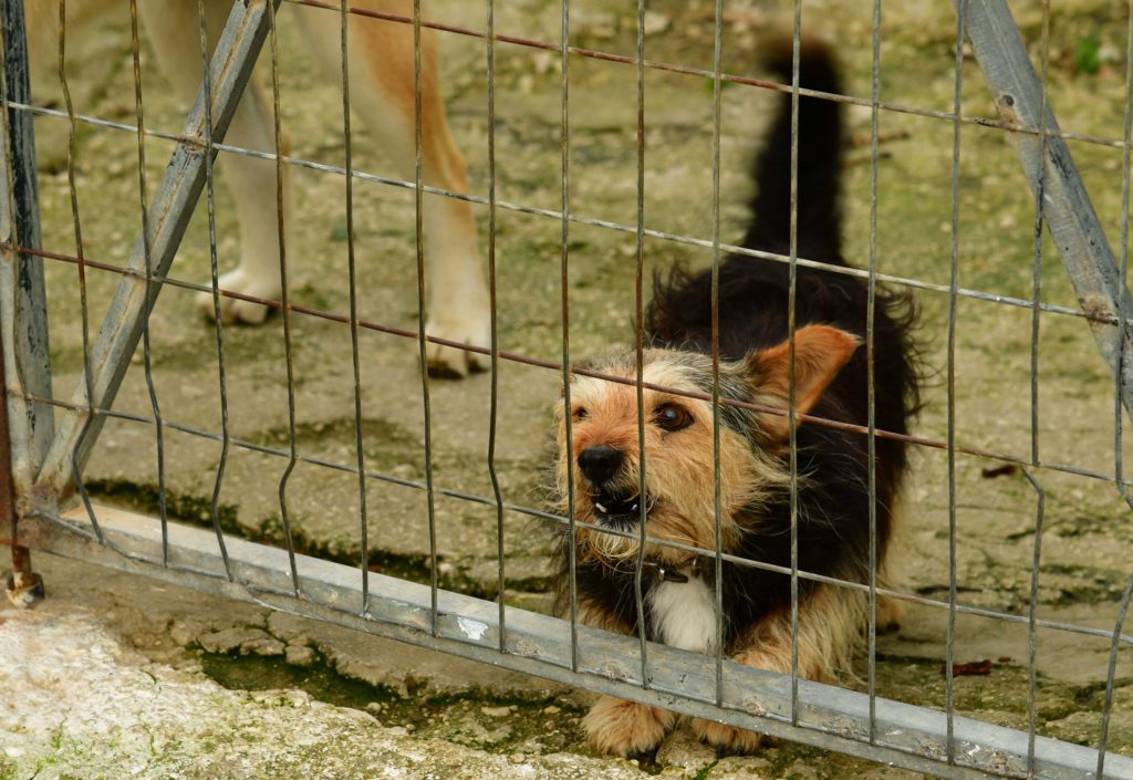
A schmall enforcer for schmall mistakes (tiny guard dog in Corfu, photographed by the author)

Student Survey Journals: Kat Apokatanidis, Pounta Peninsula

Editorial Note: This post was written by Kat Apokatanidis, a University of Toronto PhD student, about work and an exciting find on the Pounta peninsula.

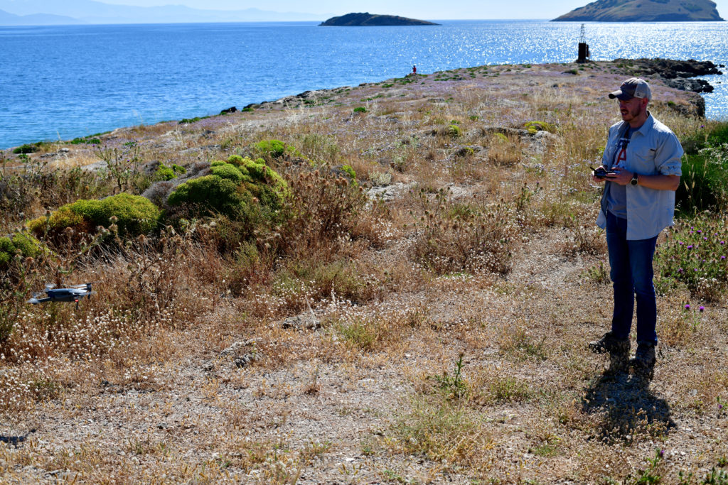
Rob flies a drone on the barren Pounta peninsula prior to the 2019 season (photo credit: S. Murray)

I cry out in surprise as the wind attempts to steal my hat from on top of my head. Jerking my hand upward I catch it right before it flies completely out of my grasp and hear a whoop of approval from my team leader for saving my hat. It is unbelievable how windy it can get in Greece during the summer. It is late morning and the crashing waves are the only other sound we hear aside from the howling wind. Today it is extra windy, but every day on the Pounta peninsula that juts out in the center of Porto Rafti bay is windy. The wind is inseparable from the experience of working on Pounta, I realise, as my attention is diverted towards the sea where a particularly loud crash emanates from a particularly big wave’s encounter with the rocky coast. I find myself marvelling at the colour the sea takes under the brilliant summer sky as I head on over to the boundary of my unit, clutching my hat to my chest. Sure enough, my other teammates start crying out one by one as the winds try to steal their possessions as well. Some successfully recover their hats, while others watch them sail out to sea; maybe captain Vassilis can pick them up later! At least the wind makes working under the sun more comfortable.

The view from Pounta to the northeast – in the distance to the right is Raftopoula island (photo credit: K. Apokatanidis)

Sighing in slight exasperation at the weather I make sure my hat is securely fastened onto my head, tightening the strap for good measure, and bend back down in search of lithics. The peninsula of Pounta is barren and rocky, devoid of pointy plants and other obstacles that make work at Koroni and on Raftis island so challenging. The finds on the peninsula are also quite different from the assemblages on those two sites – most of the material at Pounta is made of obsidian, a kind of volcanic stone used to make tools. Our job in the grid squares on Pounta is to collect all of the lithics that we see in each unit. And, boy, are there plenty of lithics! Our directors think that the peninsula was the site of obsidian processing in the Late Neolithic and Early Bronze Ages. Aside from dealing with the wind, working on Pounta is challenging because spotting the tiny bits of obsidian among the other rocks requires careful scrutiny of every inch of gravel. By midday my eyes throb as the blood pressure builds up from constantly bending over throughout the day, trying to separate rocks from other rocks. Opening my water bottle and taking a sip from the thermos I idly look to the ground again, already finding more obsidian. I pick one piece up as I take a bite of my carrot, inspecting it. If you have never seen obsidian before, I would say it looks quite futuristic, its jagged edges shining eerily in the brilliant midday sun even though it’s been sitting on the surface of the earth for thousands of years. The piece, like the others we found, has an air of mystery, as if containing many hidden secrets; before my work in the field I had never thought I would ever gaze at rock formations with any sense of awe or intrigue!

Grace, Elliott, and Matthias enjoy a lunch break on Pounta – in the distance are Raftis and Raftopoula islands (K. Apokatanidis)

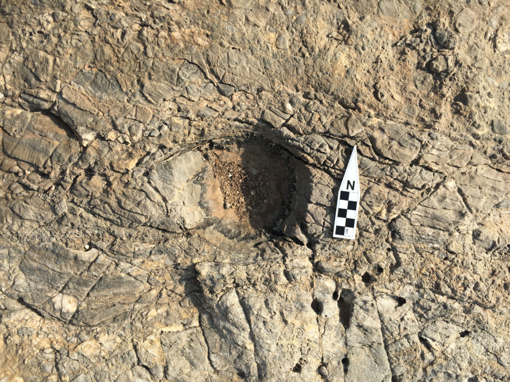
Seemingly the least dramatic of the sites we’ve surveyed in the course of the project, Pounta hides its secrets in plain sight. Much like the obsidian we were there to collect, at first glance the peninsula seems pretty ordinary: just another rocky spit of land issuing out into the blue Mediterranean, dotted with some holiday homes and popular with swimmers and fishermen. Yet, Pounta is a quite extraordinary place. The quantity of lithic material all over the surface is overwhelming, and the other archaeologists on the team say they’ve never seen such a scatter – in most surveys you hardly find any lithics at all. Another surprise came a couple of days into our work there, when we started to notice round holes ground into the bedrock. Definitely not natural and coated in a strange black material, these circular depressions seem likely to have had some kind of industrial use. Who knows what we’ll find next? Surely Pounta will not fail to do what the sites being investigated by the BEARS project do best: surprise us. 

One of the ground depressions in the bedrock of the Pounta peninsula (photo credit: S. Murray)

Indeed, it is all we could do not to gasp in amazement as the unit produces a small marble figurine. Speculations, theories, and suggestions are tossed about as we each take turns in holding the little figurine. Our discovery of the artifact immediately sparks my imagination. Now my thoughts are consumed with the potential reasons why this figurine came to be deposited on the peninsula, how it might have been lost by its owner, and of course the overall story behind its creation and subsequent use. Was it symbolic of protection against harm? Was it meant as a gift? Almost three weeks into the project, everyone was expecting a lull in excitement, as work at BEARS settled into a familiar routine, but this discovery has everyone caught up in their archaeological imaginations once again. As a newbie, I am consistently told that such excitement is not typical for an archaeological survey. However, as I am caught up in the whirlwind of the project’s activity (and the windy conditions on Pounta) I find myself thinking a less exciting project might not be such a bad thing!

Grace and other BEARS team members survey the Pounta peninsula (Artist rendering credit: M. McHugh)

Student Survey Journals: Irum Chorghay, Week 4

Editorial Note: This post was written by Irum Chorghay, a University of Toronto student, about work during the final week of the 2019 season.

Koroni peninsula and island as seen from Raftis island (Photo credit: K. Alexakis)

The sea is out: we spent the last day on Raphtis Island last week and the waves are too rowdy again. It’s the final stretch of the survey season. We’ve finished our gridded collection on the Koroni acropolis too, so the first couple days of the week we conduct intensive/extensive hybrid survey. In other words, we “hit the slopes” of Koroni—just beyond the edge of the acropolis site, past the row of boulders that delineated that grid’s border—and extend the size of our units. Instead of doing full coverage like we had in our 20×20 grid squares, we space walkers every 10 meters along the edge of the unit and walk in straight lines across to the other end of the unit at approximately the same pace. We collect along the way anything that lies within our arms reach and make note of the visibility of the surface. At times, the vegetation lying along the slopes is impenetrable, so our lines converge, but we do our best to stay spread out and carefully cover as much of each unit as possible. For many units, the vegetation remains dense, or we run into a cliff, and even when we can manage to walk across the surface in formation, low-lying shrubbery often conceals the ground anyway. But we do our best to collect roof tiles and sherds, and even unexpectedly find a few Mycenaean sherds.
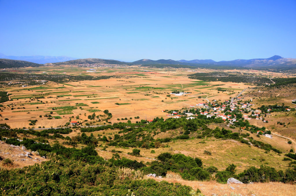
Maeve and Joey map extensive features on the Koroni peninsula using the EMLID unit (Photo credit: S. Murray)
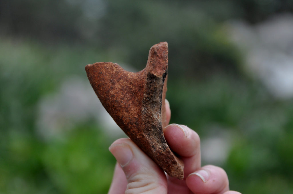
Halfway through the week, we hike back up to the acropolis even though we’ve finished our survey there. It’s time to take a look at the piles of roof tiles we’ve left behind at the corner of each square; we call them “tile piles,” and Dr. Murray shows us the system of “reading tiles” devised by our tile specialist, Dr. Sapirstein. She tells us the difference between Laconian pan and cover tiles and Corinthian pan and cover tiles, which are much more unusual to find, both in our survey area and throughout the Aegean. We go through each pile of tiles and sort the tiles according to categories: Laconian pan tiles are concave, curving gently, whereas the cover tiles have a greater curve to them. Corinthian roof tiles have a very different shape and are often made from a different kind of fabric. Although none of us has dealt with tile analysis in the field before, we learn how to tell the types apart as we work through the tile piles in groups, and Dr. Murray double checks our categorizations before entering them into the database. 

Grace wrangles data on a project iPad during survey on the slopes of the Koroni peninsula (Photo credit: S. Murray)

We are also busy off the field: in the apotheke, much of the pottery remains to be processed, photographed, weighed, sorted, and generally dealt with. Simultaneously, we have to select, edit, label, and organize digitally the images we’ve taken of these finds, and considerable hours are spent doing this during the day, too. Working through the files of images of our finds from across the last four weeks—snapshots of the novelty of the archaeological world—is a pleasant way to end the season.

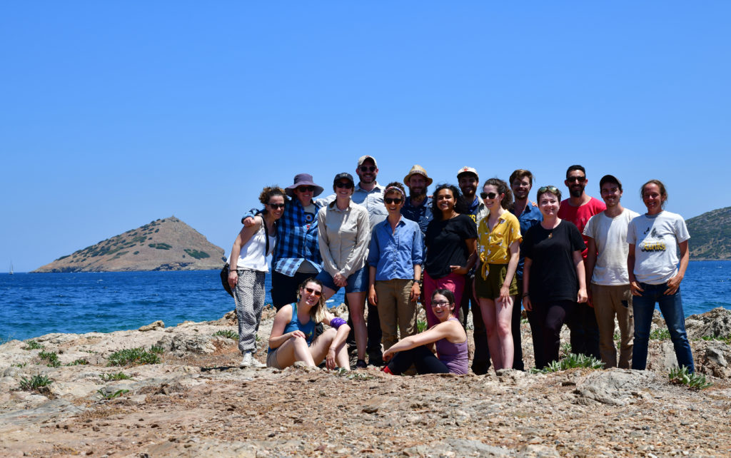
The 2019 team
The 2019 BEARS team on the final day of the season (Photo credit: S. Murray)

Student Survey Journals: Kat Apokatanidis, Raftis Island

Editorial Note: This post was written by Kat Apokatanidis, a University of Toronto PhD student, about work on Raftis Island.

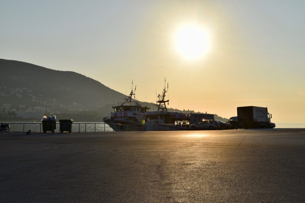
The Porto Rafti Harbor at dawn (photo credit K. Alexakis)

I am driving my team to the harbor today and even though I am wearing sunglasses, the morning glare of a Mediterranean sun in the summer is formidable. I hastily pull down the overhead blind. The car is silent as the grogginess of sleep is wearing off and a subdued sense of excitement is settling in, familiar by now to any team tasked with working on Raphtis island for the day. This morning is quite windy, and so the swelling of the sea is more robust than usual. I drive the car in keeping with the speed limit, but so early in the morning it is a test to my self-control not to go a little faster since the road leading to the harbor is deserted. Muted conversation between the passengers starts picking up as the coffee is slowly doing its job; soon the car comes alive with discussion. The topic? Of course, what we might discover on the island today. 

The island of Raftis in silhouette from the approach by sea on a sunny summer morning (photo credit: K. Apokatanidis)

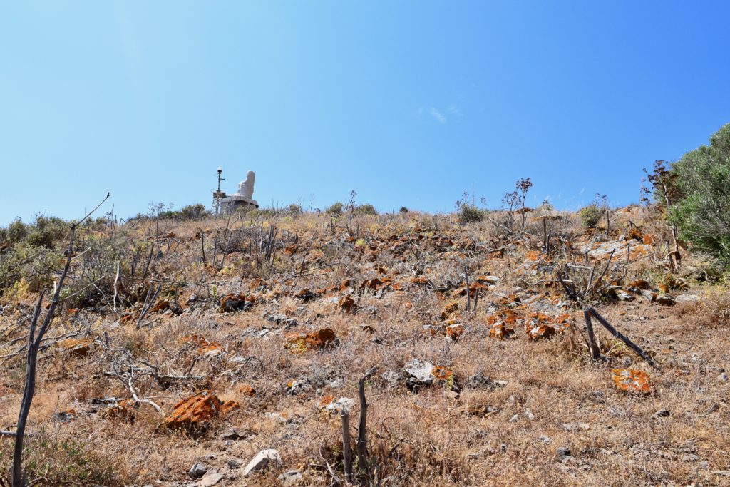
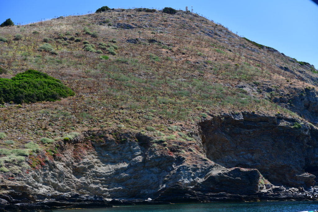
The island of Raftis is peculiar. It is a pyramid-shaped rock standing watch over a small harbor in Northeast Attica, Greece. Even though this specific bay of Attica, Porto Raphti, looks out to a strait of water between the Greek mainland and the enormous island of Euboea rather than the open Aegean, you can tell that the island of Raftis, situated between the bay and the larger island, takes quite a beating from the sea and the winds. Abused by the elements, the island is a visual reminder of what the war between earth and sea looks like. The island is completely desolate, its only inhabitants a badly eroded marble statue of a headless, seated and clothed figure, and a rusty, perfunctory light post, both situated at the top of the ‘pyramid’. Well, let’s not forget about the spiders; so, so many spiders! Every morning’s climb from the boat up to our survey unit is an exercise in avoiding webs. I am convinced that no other archaeological project has been attempted on Raftis because of these multilegged natives; a claim for which I will never have any proof yet believe in with all my heart. But, aside from its inhabitants, the island itself is quite demanding to climb and quite physically taxing to work on. It is not like the lowland plains of the site of Koroni, or even the Koroni acropolis which is relatively flat once you reach the top. On Raftis, as my ankles unhappily discovered, there are hardly any flat surfaces to be found whatsoever. 

Grace enters data from a Raftis survey unit while standing on a steep slope (photo credit: K. Apokatanidis)

Despite this seemingly unwelcoming topography, the island of Raphtis is amazingly dense with evidence for ancient human habitation. The information gained from the existence of these artifacts on the island contrasts with the landscape itself. Steep and jagged as it is, the question that plagues the team day in and day out may be briefly stated as follows: what were all these people doing here all those years ago? And the immediate follow-up question: how different must the landscape have been in ancient past to allow for prolonged stay? There is no obvious water source and no safe harbor to lay anchor. Our project’s boat captain is hard pressed each day to find a suitable position to drop anchor. And yet there we were, picking up artifacts from the surface left and right. Each day of survey produces a lot of surprises, and so it is no wonder that all bets placed in the car on this windy summer morning are fair.

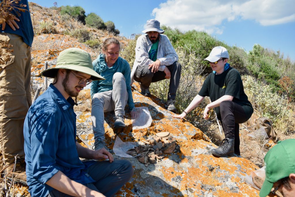
Matthias, Joey, Rob, and Herakles sort survey finds on the island of Raftis (photo credit: K. Apokatanidis)

I pull into the harbor and put the car into park. We each hoist our backpacks and head over to the Plank of Doom, or the Catwalk as the local salty sea dogs call it; the Plank of Doom – as I quite accurately call it, is a (very narrow) piece of wood that connects sweet, sweet land and our amazing boat. Land? I love; the boat? She is glorious! The plank connecting these two? I loathe with a vehemence. I distinctly remember the first time I was to cross from land to boat: for the life of me, I could not make my legs move. Frozen to the spot, in vain did I repeatedly order my legs to just move, but they would not listen. This is it, I thought at that time, early in on the project, as the seven-a.m. sun was beating down my brow; there go all my archaeology dreams. Thankfully, the Captain stretched out his hand and helped me on board, and by now the daily ritual of walking the plank is no big deal. 

The only inhabitants of Raftis island, aside from the spiders (photo credit: K. Alexakis)

This morning the boat rocks slightly as the currents and the winds are relatively strong. During the short journey across the bay, gazing towards Raftis and the whole landscape of the bay, we usually all think the same thing: how do we reconcile the current un-inhabitability of the island with the clear evidence of ancient inhabitants. In a way, Raftis island is the perfect place for demonstrating the utility of survey projects: the feeling and experience of a barren modern landscape contrasts with the evidence of life in the past. As the cliffs of Raftis come into sharper focus and the boat speeds toward to the island, I take a deep breath. I look around at the faces of the members of my team. All are obviously eager to find out what artifacts we might uncover, and how this improbable rock might redefine our understanding of ancient Attica. I remember the bet I placed with the others in the car; who knows, maybe I will find a temple of Dionysos up here.

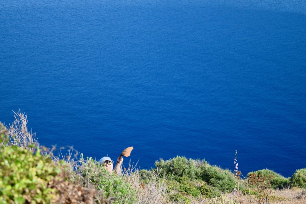
Kat holds out a survey find downslope from the photographer in a steep survey unit (photo credit: K. Alexakis)

Student Survey Journals: Irum Chorghay, Week 3

Editorial Note: This post was written by Irum Chorghay, a University of Toronto student, about work at Koroni, on Raphtis Island, and in the Brauron Museum during week 3 of the project.

Captain Vasilis is a consummate professional and always knows if it is safe to sail (Photo credit: K. Alexakis).

Vasilis, our ship’s captain, has given us the go-ahead that the waves are cooperating and we can survey Raphtis island again after a week of windy weather that was not conducive to sailing.

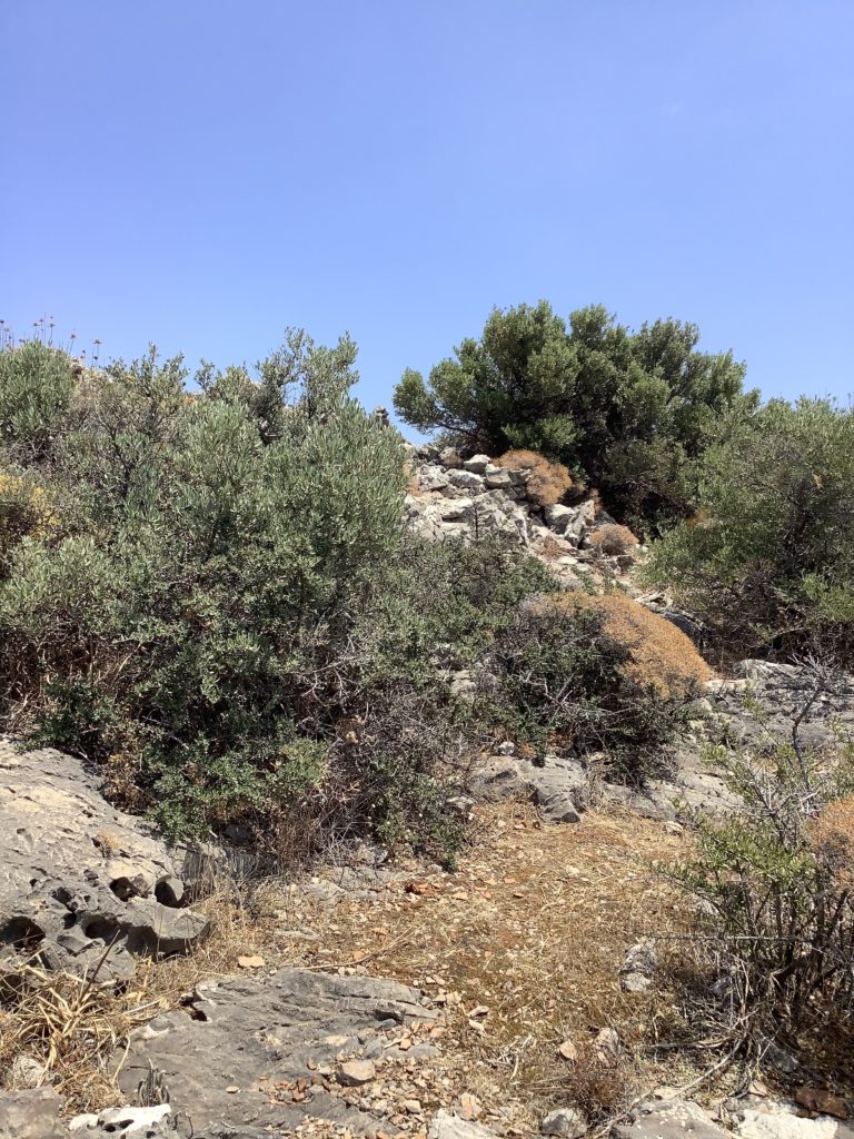
A hiker's eye view of the path to the top of Koroni traversed each day by the team (Photo credit, M. McHugh)

But I spend most of my time at Koroni. Days at the Koroni acropolis begin with a hike. As July approaches, the weather become hotter and more humid, and by the time we’ve reached our first grid square for the day, we are soaked in sweat. Hydration becomes more and more essential as we search the ground for new finds. The scatters have a strange distribution: some squares are dense with artifacts, producing up to a hundred fragments of roof tiles and amphora bases, rims, and handles, while others hardly yield even one roof tile. My teammate, Jenny, finds a sherd engraved with an Epsilon and a Delta, and we spend the rest of the day coming up with theories for who “Ed” was—and what did he stand for? 

The dramatic topography of Raftis island as seen from the approach by sea (Photo credit: S. Murray)

Late in the week I am sent to survey again on Raphtis Island. The topography is even more dramatic than the high fastness of the Koroni acropolis. No matter where you wander on the island, the ground never flattens out. We spend the day surveying on a part of the island I haven’t seen before. Some of the corners of the furthest grid squares in the area are not marked, because they are located someplace in midair past the edge of a small cliff. In this area of extreme landscape and rocky crevasses, I manage to spot some obsidian—clearly I learned a lot from spending hours at Pounta with my eyes glued to the ground, picking lithics. Another interesting aspect of the finds in this area of the island is that we are finding a lot of coarse-ware that was probably used for cooking or storage. It is made of rough, chunky, and dark fabrics that are new and unfamiliar to me. Common among these finds are typical amphora sherds, but unlike the amphoras I’ve been seeing at Koroni, they are perforated all the way through near joints, like where handles adjoin bodies. One of the graduate students and I find three chunks of the rim of a giant pithos with braided detailing along the rim. He links them together to form almost a complete opening and I find this beautiful. Our team leader Grace selects one chunk for collection; we are quite picky in choosing which finds we collect from the island, where each grid square continues to yield abundant quantities of all shapes of pottery, both fineware, painted pottery, and cookware, as well as numerous figurines. Units take one to two hours to complete, as opposed to the half hour to hour average at Koroni. We repeatedly pore over each unit collecting diagnostic items, double- and triple-checking each other’s work to ensure that we don’t miss anything important or informative. 

A pile of diagnostic sherds ready to be sorted on Raftis island (Photo credit K. Alexakis).

At the museum, things are getting busier: we have to pick up additional storage containers to accommodate for our growing collection of finds, and Rob, who is in charge of processing finds in the apotheke, begins to photograph them using a special high-resolution camera and a tripod fitted with special lights. Our small assemblage of figurines attracts the attention of the museum’s resident conservators, who often pop into our small room excitedly to see our latest finds.


Student Survey Journals: Kat Apokatanidis, Koroni Acropolis

Editorial Note: This post was written by Kat Apokatanidis, a University of Toronto PhD student, about working at the site of Koroni.

Kat surveying on Raftis island (Photo credit: K. Alexakis)

There is something defiant about being an archaeologist. The job is to go to places that usually are left alone. From tombs to acropoleis these spaces are now all more or less forgotten, consumed by time because that is how the world works. These are the first couple of thoughts that cross my mind as I climb the mountain side to reach the acropolis of Koroni for the first time. The climb is, to put it mildly, an effort. It is early in the morning, the sun barely cresting the peak of the acropolis. I lift my head and try to see above the maquis to estimate how far we have left to climb. My legs are already burning from the effort. Every morning on the BEARS project I curse my sedentary lifestyle. Without fail (or, rather, with the utmost failure) I am always the last one to reach the circuit of fortifications at the top of the peninsula where we are surveying. Today is no different. Completely out of breath by the time I reach the top, embarrassingly taking forever to catch up with the others, I try and mask my feeble wheezing. Thankfully, the others are drinking water while admiring the view, not taking account of how winded I am. 

A survey team shrouded in maquis on the Koroni acropolis, just above a very modern beach development (Photo credit: M. McHugh)

After our team leader briefs us on the day’s plans (the number of units we were to try and cover, whether or not we would be doing total collection of finds, the new skills we were to try and learn by taking up different posts like data entry or mapping) we set to work. Crouching over the ground, battling (and mostly losing) with maquis, and trying not to lose myself in the incredible views that spread out below the acropolis, I marvel at the fact that though thousands of years have passed we still find things lying around on the ground in plain sight. I arrived on the project expecting to find some artifacts on the surface that would potentially hint at how important this area could have been in antiquity. But I did not expect that we would find so many artifacts lying on the surface. Broken amphorae handles, sherds (yes, not shards) from pottery vessels of all kinds, black-glazed fine-ware, even remains of rooms and walls; all of these can still be found after so many years, barely even hidden in the landscape. 

Sherds and tiles litter the surface of the site of Koroni (Photo credit: M. McHugh)

A lot of what we talk about as we work concerns using these surface remains to get a sense of the space that was occupied thousands of years ago. For instance, we are trying to figure out where and how artifacts found were dispersed and how and where they came to be concentrated in particular areas. It is work that demands a different, more nuanced understanding of how space is shaped throughout the years than an excavation would do, since so many factors have impacted the current distribution of material around an occupied landscape. These are tricky problems to work out, and we are trying to address them by thoroughly investigating and documenting the surface in an organized way. As a result, I feel a sense of real accomplishment each time we finish a unit. Finishing up procedures of our last unit before our lunch break, I steal a glance at the area we have covered so far, my teammate still counting sherds and rooftiles. I feel that today I have gained a better understanding of the layout of the acropolis; having started working in the valley of the settlement earlier in the week and finally climbing to the top and working this space, I can begin to imagine the ancient settlement of Koroni as a real, living place. 

Orthophoto of Koroni peninsula (Photos provided by D. Nakassis)

This feeling of bringing the past to life in one’s imagination is something that arises at various, seemingly random moments throughout one’s studies in Classics. As a former philology student I have felt it at numerous points throughout my years in the field of Classics. Indeed, there is something quite magical about the realization that you can understand literary texts from two thousand years ago. Having said that, archaeology is different. When in the field, imagining the past is inevitable; there is something about standing in a place and touching things from so many years ago that incites aggressive daydreaming. The things you notice are peculiar: the way the amphora handle fits in your fist, how smooth black-glazed fine-ware feels against your fingers, what it means to look out to the horizon from what remains of defensive walls; one gets a sense of time as a continuum. The people who lived here, on the acropolis of Koroni, stored their food as I do, used nice plates from which to eat like I do, and stared at the horizon to where Raftis island stands as beacon to the sea ahead, and farther still, to the blueish hues of the island of Euboea looming in the distance, just like I am doing now. On the other hand, double checking the data from the unit we have just finished and turning off the iPad, I am not dreading a pirate attack while I head over to where our team leader has found a shady place with a killer view for our lunch break.

View to the northeast from the Koroni Acropolis (Photo credit: M. McHugh)

The western part of the Koroni peninsula is now partly occupied by country houses, while the town of Porto Rafti occupies the shores of the bay to the northwest. But we take our lunch break up on the highest point of the citadel and look out to the east, the landscape is peaceful, almost completely silent. It is so quiet, in fact, that I turn in surprise as a butterfly flaps its wings at a nearby branch of a maquis. I cannot say I have ever heard the flap of a butterfly’s wings before; the quiet that exists up here is so profound that you find yourself noticing small things, like the shadows cast by ants, or the indolent way with which a spider repairs her web. And though this silence most definitely did not permeate the abandoned site when it was at its prime, this current desolation, this current peace is as much part of archaeology as daydreaming about the past is. The short breaks we took were some of the moments I looked forward to the most; I eagerly would select a flat-looking rock for a seat, take out my meal and settle in the shade of the thicket. When people are tired, yet love what they do for a living, one finds that conversation among them is most interesting. So, when my teammates start conversing, I listen intently. During these lunch breaks archaeology starts to make sense to someone like me, with no training in archaeology, and with no prior knowledge of what archaeology can uncover. 

A ruined structure on the Koroni acropolis (Photo credit: M. McHugh)

As the conversation turns to ideas and theories on what life in Koroni would have been like, I learn a lot about the way that archaeologists approach problems. I try to follow the logic as my teammates speculate on how people would have decided where to build houses or where to post guards on the walls, which question leads them to a whole different conversation about reconstructing the original height of the ruined fortifications. Even though I’m not used to talking about problems like this, the group includes me in their discussions, explaining some of the things they think are especially challenging concepts. I try to think of something intelligent to say yet find that I cannot contribute very much. But I listen intently, coming to the realization that no matter how gruelling, no matter how demanding, no matter how exhausting physically and mentally the work of being an archaeologist might be, it has a far greater allure than the study of ancient literature, and I am excited to learn more. Compared to my new colleagues, I feel like an ant straining to gaze up at giants. Fortunately for me, up here, on the long-abandoned acropolis of Koroni, even an ant can cast a shadow.


Koroni surveyors atop the north face of the acropolis fortifications (Photo credit: I. Chorghay)