The 2022 Town Survey

As part of the 2022 field season, BEARS is expanding its search for ancient activity in Porto Rafi beyond the inner bay and islands. The “town survey”, as it’s called, is being led by the fearless Maeve McHugh and is focused on documenting parts of the ancient landscape that are a bit more distant from the beautiful waters of the Porto Rafti bay. This includes the urban core of Porto Rafti as well as agricultural fields that surround the city—a landscape diverse in vegetation and modern habitation. The goals of the town survey are different from the surveys of Praso, Raftis, Pounta, and Koroni. From the town survey, we hope to gain a better understanding of the relationship between our well documented bay sites (e.g. Raftis) and important settlements in east Attica outside our survey zone, such as the sanctuary at Brauron. The town survey also has the potential to shed light on land use in the “chora” (countryside) of the two Athenian demes that inhabited the bay of Proto Raftis (Steiria and Prasiae). Additionally, the survey will help define settlement patterns of the Bronze Age and Late Roman period, time periods that we have already documented on the islands.
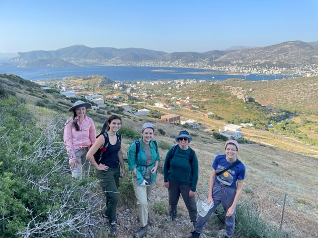
A town survey team working in the mountains around Porto Rafti
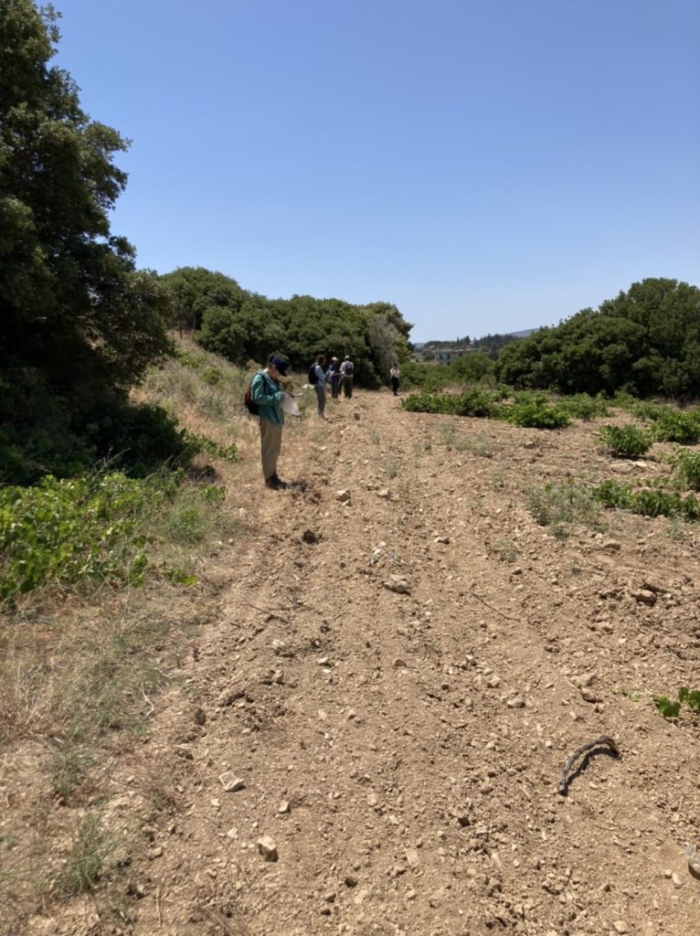
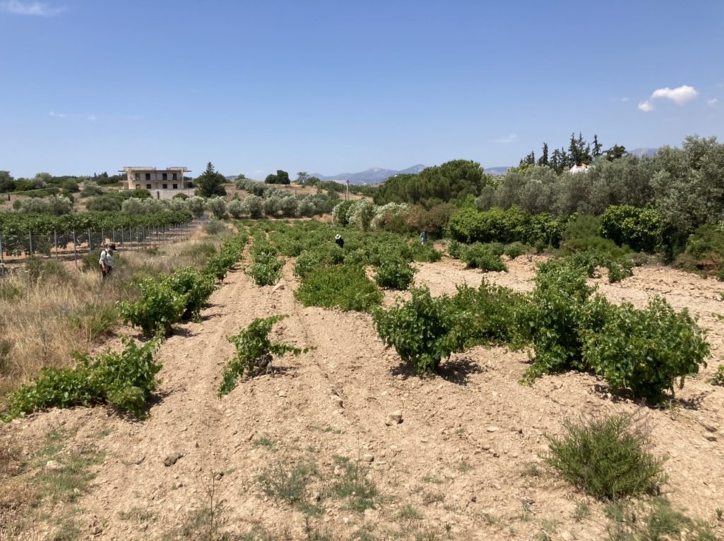
To achieve these goals, the town survey is employing methods suited to detecting previously unidentified areas of ancient activity. Rather than collecting artifacts in 20 x 20 meter grid squares, we are doing transect collection, also known as intensive pedestrian survey. In intensive pedestrian survey, between 3 to 6 surveyors walk in straight lines in one topographic “unit” picking up and counting any artifacts they encounter along their path. This collection technique offers a sample of all the artifacts that might be residing on the surface of a particular land plot.
A survey team carefully examines the surface of an agricultural field with grape vines
After only a week and a half of town survey, our team already has much to show! In agricultural fields in the northwest part of the survey area, we’ve found significant quantities of obsidian. In one unit alone, the team collected over 300 lithics! This has interesting implications for how obsidian, which may have been processed on the peninsula of Pounta, was moving from the bay to inland sites throughout Attica. In this same area, the team has detected significant Classical-Hellenistic as well as Late Roman scatters, suggesting the existence of settlement in these periods, potentially related to agricultural activity. Additionally, the survey team has collected Late Helladic IIIC material in areas south of the bay. This suggests that LH IIIC land use may have extended to many places around Porto Rafti, beyond the island settlement of Raftis.
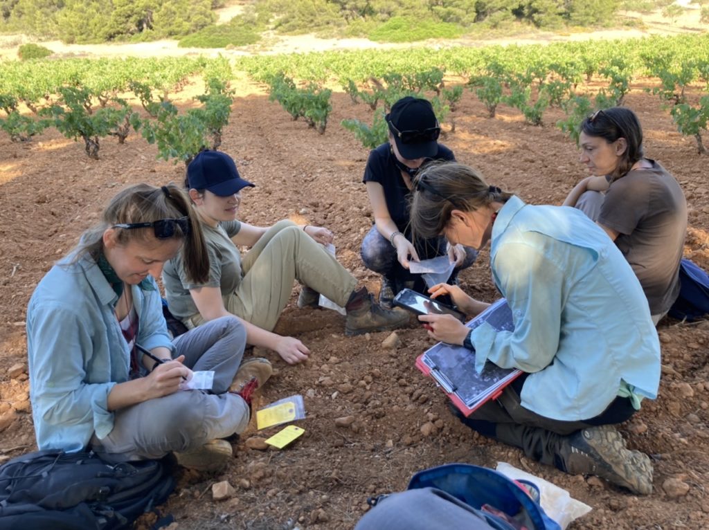
Hard at work counting and bagging collected artificats
The town survey, however, has not been without its challenges. Many of the plots of land in Porto Rafti that are not occupied by homes are gated or overgrown, preventing easy investigation of surface assemblages. These challenges have offered an opportunity for creative problem solving in the field and a careful consideration of how we “sample” the landscape for traces of ancient activity. All this work has been made possible by a fearless team who is willing to crawl under thorny bushes, hop over stone terrace walls, and climb steeply sloping olive fields. Overall, this part of 2022 fieldwork is off to a great start! We will offer more updates soon.
Surveyors enthusiastically prepare to walk another unit

Leave a Reply