Student Survey Journals: Irum Chorghay, Week 4

Editorial Note: This post was written by Irum Chorghay, a University of Toronto student, about work during the final week of the 2019 season.
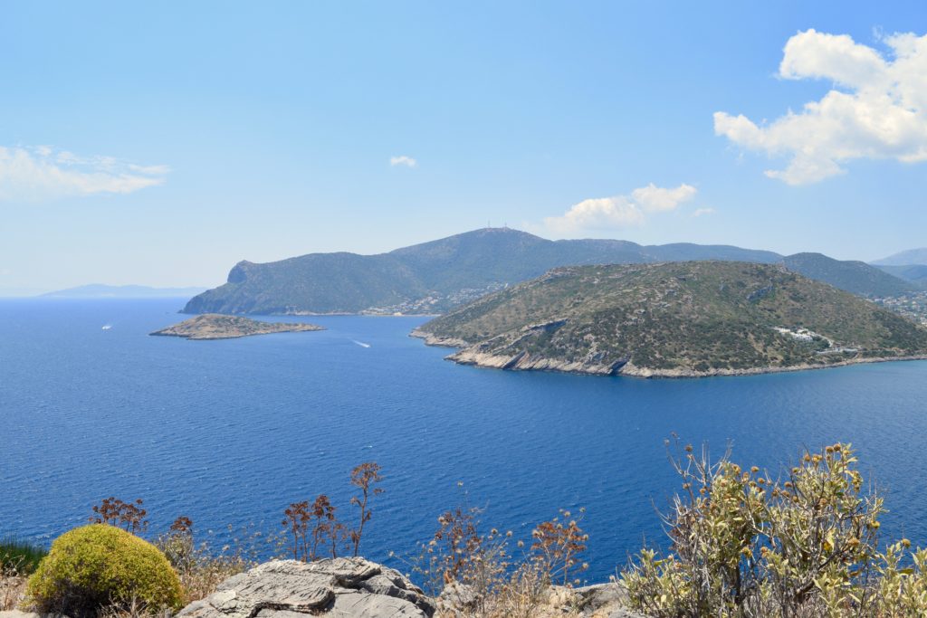
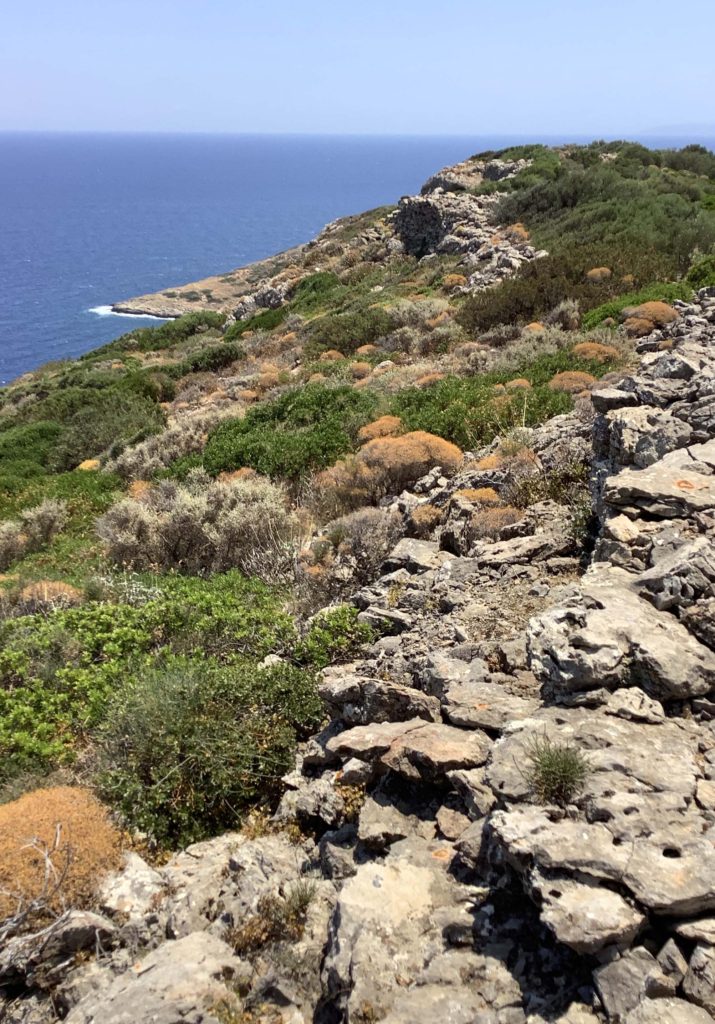
Koroni peninsula and island as seen from Raftis island (Photo credit: K. Alexakis)

The sea is out: we spent the last day on Raphtis Island last week and the waves are too rowdy again. It’s the final stretch of the survey season. We’ve finished our gridded collection on the Koroni acropolis too, so the first couple days of the week we conduct intensive/extensive hybrid survey. In other words, we “hit the slopes” of Koroni—just beyond the edge of the acropolis site, past the row of boulders that delineated that grid’s border—and extend the size of our units. Instead of doing full coverage like we had in our 20×20 grid squares, we space walkers every 10 meters along the edge of the unit and walk in straight lines across to the other end of the unit at approximately the same pace. We collect along the way anything that lies within our arms reach and make note of the visibility of the surface. At times, the vegetation lying along the slopes is impenetrable, so our lines converge, but we do our best to stay spread out and carefully cover as much of each unit as possible. For many units, the vegetation remains dense, or we run into a cliff, and even when we can manage to walk across the surface in formation, low-lying shrubbery often conceals the ground anyway. But we do our best to collect roof tiles and sherds, and even unexpectedly find a few Mycenaean sherds.
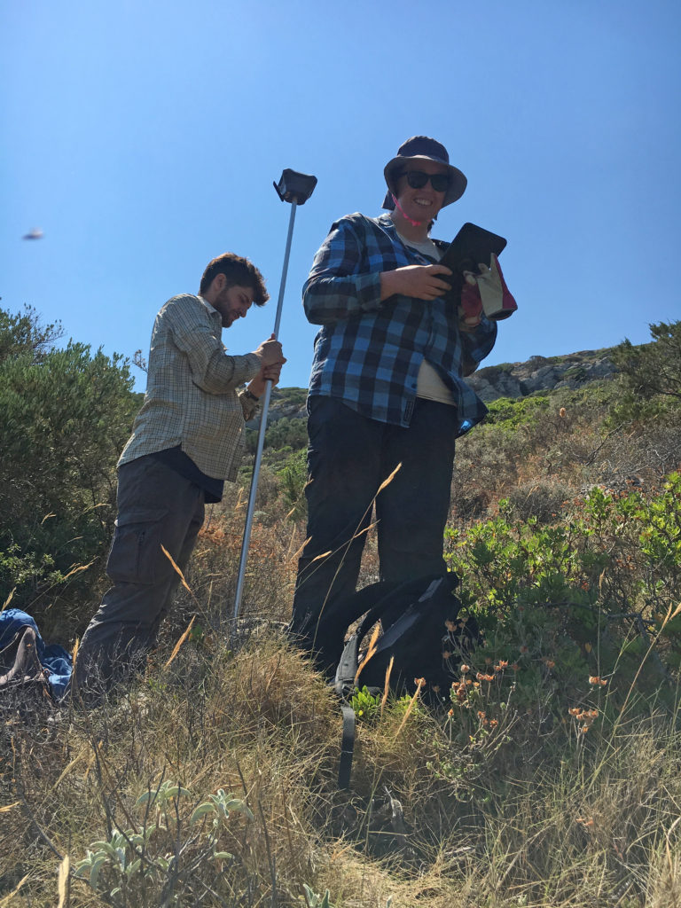
Maeve and Joey map extensive features on the Koroni peninsula using the EMLID unit (Photo credit: S. Murray)

Halfway through the week, we hike back up to the acropolis even though we’ve finished our survey there. It’s time to take a look at the piles of roof tiles we’ve left behind at the corner of each square; we call them “tile piles,” and Dr. Murray shows us the system of “reading tiles” devised by our tile specialist, Dr. Sapirstein. She tells us the difference between Laconian pan and cover tiles and Corinthian pan and cover tiles, which are much more unusual to find, both in our survey area and throughout the Aegean. We go through each pile of tiles and sort the tiles according to categories: Laconian pan tiles are concave, curving gently, whereas the cover tiles have a greater curve to them. Corinthian roof tiles have a very different shape and are often made from a different kind of fabric. Although none of us has dealt with tile analysis in the field before, we learn how to tell the types apart as we work through the tile piles in groups, and Dr. Murray double checks our categorizations before entering them into the database. 
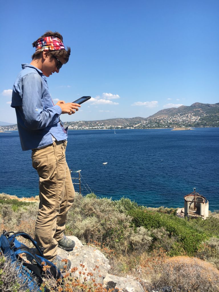
Grace wrangles data on a project iPad during survey on the slopes of the Koroni peninsula (Photo credit: S. Murray)

We are also busy off the field: in the apotheke, much of the pottery remains to be processed, photographed, weighed, sorted, and generally dealt with. Simultaneously, we have to select, edit, label, and organize digitally the images we’ve taken of these finds, and considerable hours are spent doing this during the day, too. Working through the files of images of our finds from across the last four weeks—snapshots of the novelty of the archaeological world—is a pleasant way to end the season.
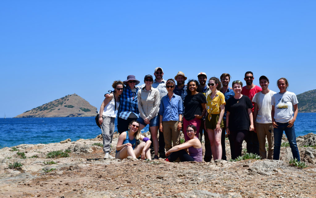
The 2019 team
The 2019 BEARS team on the final day of the season (Photo credit: S. Murray)

Student Survey Journals: Irum Chorghay, Week 3

Editorial Note: This post was written by Irum Chorghay, a University of Toronto student, about work at Koroni, on Raphtis Island, and in the Brauron Museum during week 3 of the project.

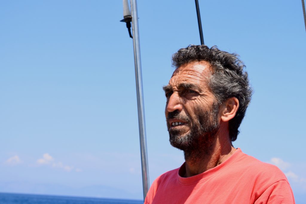
Captain Vasilis is a consummate professional and always knows if it is safe to sail (Photo credit: K. Alexakis).

Vasilis, our ship’s captain, has given us the go-ahead that the waves are cooperating and we can survey Raphtis island again after a week of windy weather that was not conducive to sailing.

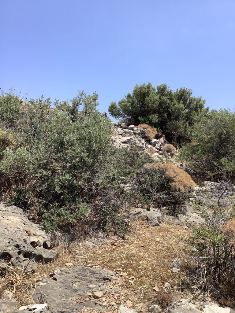
A hiker's eye view of the path to the top of Koroni traversed each day by the team (Photo credit, M. McHugh)

But I spend most of my time at Koroni. Days at the Koroni acropolis begin with a hike. As July approaches, the weather become hotter and more humid, and by the time we’ve reached our first grid square for the day, we are soaked in sweat. Hydration becomes more and more essential as we search the ground for new finds. The scatters have a strange distribution: some squares are dense with artifacts, producing up to a hundred fragments of roof tiles and amphora bases, rims, and handles, while others hardly yield even one roof tile. My teammate, Jenny, finds a sherd engraved with an Epsilon and a Delta, and we spend the rest of the day coming up with theories for who “Ed” was—and what did he stand for? 

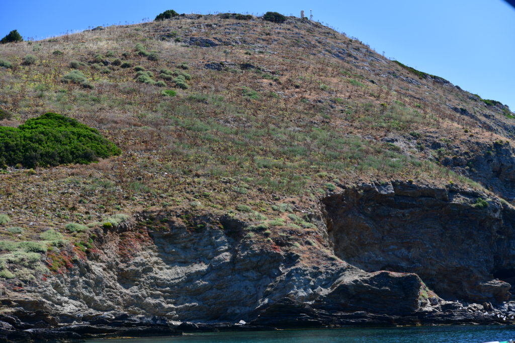
The dramatic topography of Raftis island as seen from the approach by sea (Photo credit: S. Murray)

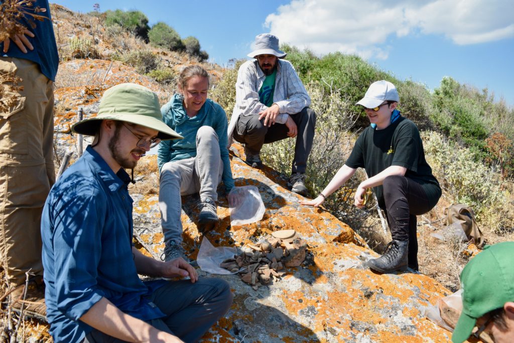
Late in the week I am sent to survey again on Raphtis Island. The topography is even more dramatic than the high fastness of the Koroni acropolis. No matter where you wander on the island, the ground never flattens out. We spend the day surveying on a part of the island I haven’t seen before. Some of the corners of the furthest grid squares in the area are not marked, because they are located someplace in midair past the edge of a small cliff. In this area of extreme landscape and rocky crevasses, I manage to spot some obsidian—clearly I learned a lot from spending hours at Pounta with my eyes glued to the ground, picking lithics. Another interesting aspect of the finds in this area of the island is that we are finding a lot of coarse-ware that was probably used for cooking or storage. It is made of rough, chunky, and dark fabrics that are new and unfamiliar to me. Common among these finds are typical amphora sherds, but unlike the amphoras I’ve been seeing at Koroni, they are perforated all the way through near joints, like where handles adjoin bodies. One of the graduate students and I find three chunks of the rim of a giant pithos with braided detailing along the rim. He links them together to form almost a complete opening and I find this beautiful. Our team leader Grace selects one chunk for collection; we are quite picky in choosing which finds we collect from the island, where each grid square continues to yield abundant quantities of all shapes of pottery, both fineware, painted pottery, and cookware, as well as numerous figurines. Units take one to two hours to complete, as opposed to the half hour to hour average at Koroni. We repeatedly pore over each unit collecting diagnostic items, double- and triple-checking each other’s work to ensure that we don’t miss anything important or informative. 

A pile of diagnostic sherds ready to be sorted on Raftis island (Photo credit K. Alexakis).

At the museum, things are getting busier: we have to pick up additional storage containers to accommodate for our growing collection of finds, and Rob, who is in charge of processing finds in the apotheke, begins to photograph them using a special high-resolution camera and a tripod fitted with special lights. Our small assemblage of figurines attracts the attention of the museum’s resident conservators, who often pop into our small room excitedly to see our latest finds.


Student Survey Journals: Irum Chorghay, Week 2

Editorial Note: This post was written by Irum Chorghay, a University of Toronto student, for whom BEARS was an inaugural experience with field archaeology, after the second week of survey.

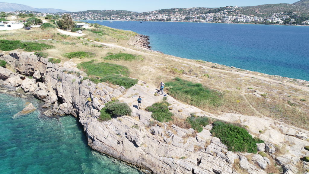
A drone's eye view of the Pounta peninsula with some team members (Photo credit: D. Nakassis)

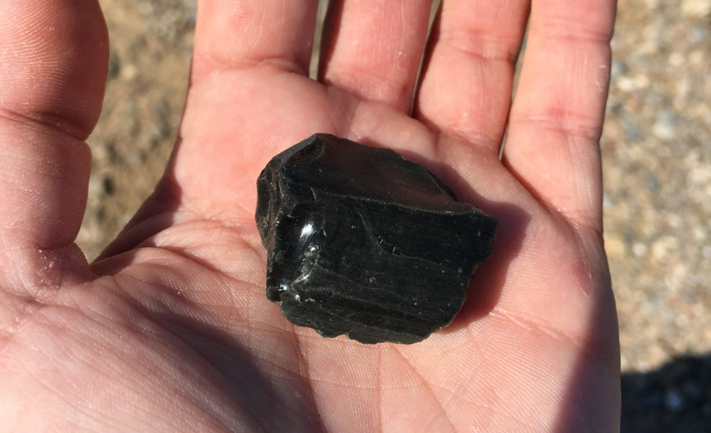
The waves are unruly this week, so no trips can be made to Raphtis Island. Instead, our team spends the week at Koroni and Pounta, which is a peninsula that divides the Porto Rafti harbor in half. Arriving at this new site, the first thing we notice is the wind. A rusty modern tower stands towards the apex of the strip of land we are to collect in a grid over the next few weeks, and we stand behind it for shelter against the aggressive gales. At Pounta, the visibility is high, and we are taught to look for lithics, and especially obsidian. I pick up several stones to show to Grace, our team lead, before I figure out what to look for: obsidian is a dark grey-black stone, and where it’s been worked, it shimmers. Pounta is a public location, and we conduct survey next to the homes of local Greeks. Somehow, the ground is littered with obsidian anyway. 

Obsidian in hand at Pounta (Photo credit: S. Murray)

At Koroni, much is the same as last week: the valley varies in visibility, we find mostly roof tiles and amphora handles, and we log all our findings—as with the other sites—into the database on one of the project’s iPads. In the log, we include sherds collected, roof tile counts and weight, the visibility of the grid, and any other features that we think are relevant. We take a picture of the unit to include in the log and leave the roof tiles behind. The tiles will be revisited, we are told, when a tile specialist arrives towards the end of the survey season.

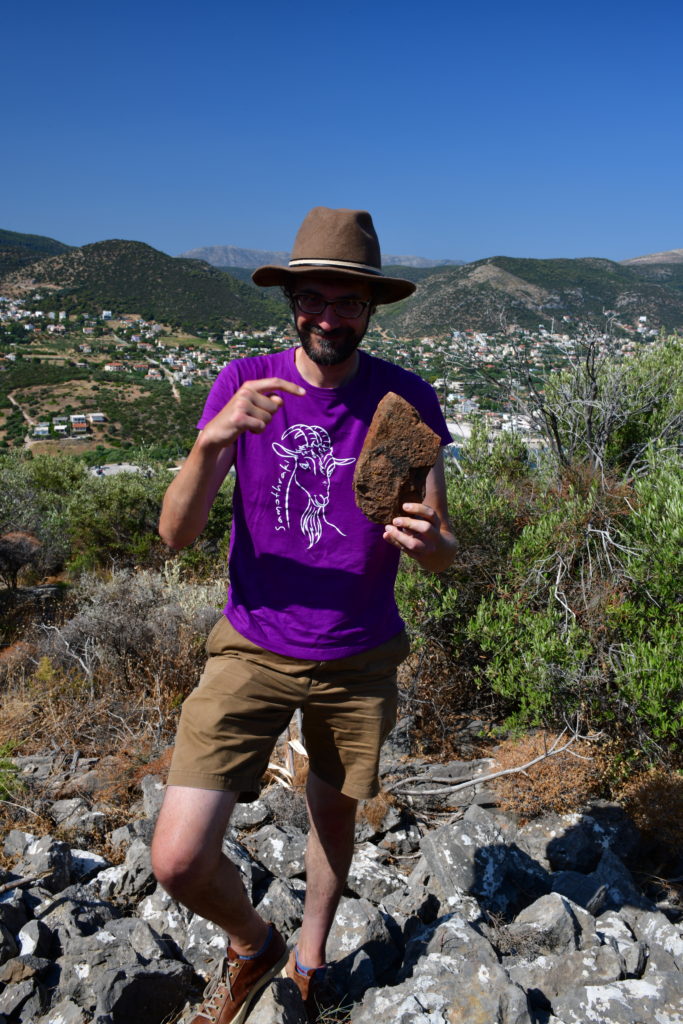
Phil demonstrates how to read tiles in the field (Photo credit: S. Murray)

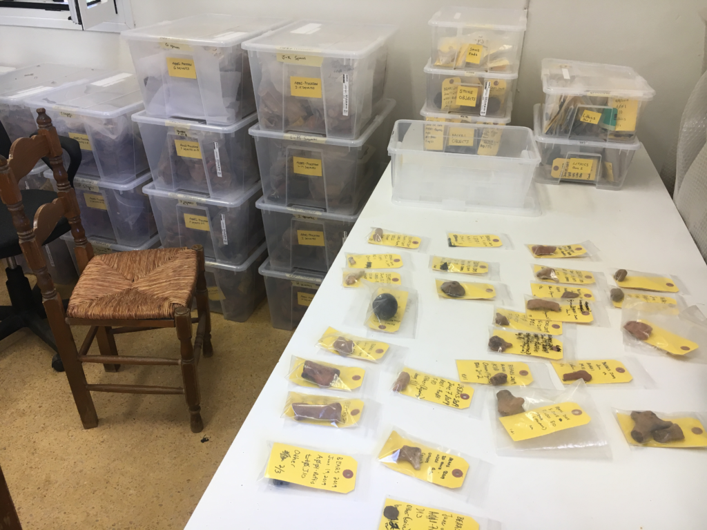
Once a week, we each get a chance to work at the apotheke, a local museum located charmingly in the middle of nowhere. Here, we soak and clean the previous day’s finds, using brushes for larger pieces and our fingers for painted pottery to avoid scrubbing away its decoration. We recount and re-bag the finds, separate fine-ware from coarse-ware pottery (the former is often a grey-like color, better fired, and simply more delicate, whereas the latter is often larger and heavier), write new labels, weigh the lots, and enter the weights into the database. Because it’s so windy at Pounta, we count the obsidian from that field team in at the apotheke, so that the tiny pieces of debitage don’t fly away into the sea from the site. At the end of the day, we wait for the field teams to deliver new finds. For the most part, cleaning and sorting the pottery is relaxing and feels productive.

BEARS survey finds in the Brauron museum (Photo credit: S. Murray)

On the last day of this week, Maeve—another team lead—has something exciting planned for the three other undergraduates working at Koroni that day: gridding. Having completed our survey of the Koroni valley, we gather our equipment—a GPS unit, measuring tape, a compass, flagging tape, a sharpie, and a clipboard with the site map laid out—and hike up to the Koroni acropolis. We spend the day mapping out and flagging the grid. We use the GPS to find an approximate point, and confirm the distance with the measuring tape, hoping to capture any errors that the mountain’s uneven topography might yield. The northern edge of the site is marked by a fortification wall and beyond it lies the slopes of a rugged cliff. By the end of the day, I start to feel dehydrated and my teammate twists her ankle; we take a few moments to recuperate under what little shade we find. Sitting on the slope of the Koroni acropolis, looking out to the town stretched out below us and the deep blueness of the water spilling from the land’s borders, we feel accomplished: it’s been a good and hard week! 

The fortification and cliff atop the Koroni acropolis, looking east (Photo credit: M. McHugh)

Student Survey Journals: Irum Chorghay, Week 1

Editorial Note: This post was written by Irum Chorghay, a University of Toronto student, for whom BEARS was an inaugural experience with field archaeology, after the first week of survey.

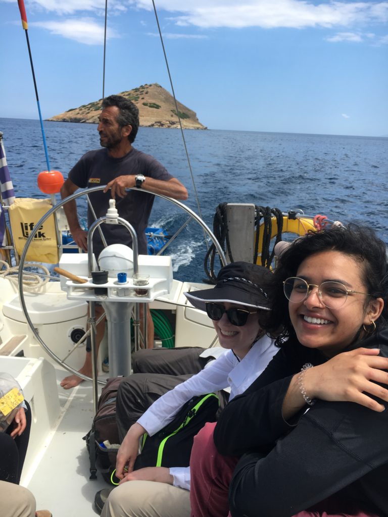
Jenny and Irum enjoy the boat ride to Raftis island with Captain Vasilis at the helm (S. Murray)

My first day as an archaeologist, I get to take a small boat out to Raphtis Island, one of three sites that our survey is focusing on exploring. We are staying in Porto Rafti, a resort town not far from Athens, and it is immediately obvious that this is not a typical area for an archaeological project like ours: a town full of beachgoers is very different from the usual rural landscape of surface survey. Each member of our crew for the day takes a walk along the narrow wooden ledge that bridges the gap between the edge of the harbor and the ship itself, and at seven in the morning, we’re tucked into the captain’s vessel and headed towards the mysterious island site. 

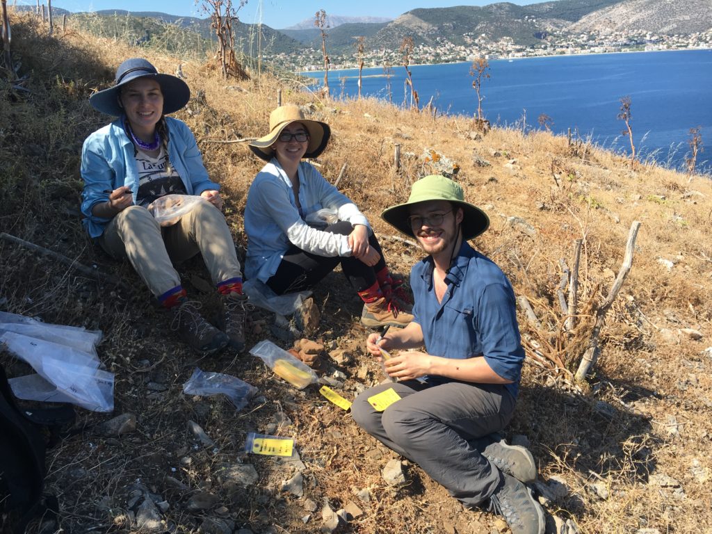
Isabella, Cassandra, and Taylor assess the survey finds from 2019's first unit on Raftis island (S. Murray)

When we arrive on Raphtis, I’m struck by how steep it is. Accustomed to the terrain of the city, I stumble hastily up the rocky, uneven side of the island, unsure of where we’re headed, or if the ground will ever even out (spoiler: it doesn’t). Dr. Catherine Pratt—one of the project’s directors—takes me and the three other undergraduates off to one end of the island, while Dr. Sarah Murray—the other project director—takes off with Dr. Robert Stephan—her right hand man—to set up the rest of the “grid.” I don’t know what this means yet. Dr. Pratt shows off pieces of pottery scattered on the island’s surface, the bits and pieces of ancient amphorae littered across the low-lying greenery. “The sherds with deep-set ridges and refined firing are Roman,” she tells us. Cassandra—a fellow undergrads—yanks a chunk of pottery out from underneath a small bush, and Dr. Pratt is thrilled. “It’s an amphora handle!” she exclaims, and the rest of us excitedly gather around her. For the most part, this is how we learn: closely examining the ground, picking up sherds and bringing them to Dr. Pratt until we learn what pottery looks like.

Next, Dr. Pratt guides us through gridded collection, and I learn what Dr. Murray and Rob were up to with their brightly colored flag tape. They have divided the island into a grid composed of 20 by 20 meters units, and each grid square is given a name according to the flag at its northwest corner: A1, A2, and so forth. We are told to do “total collection,” which turns out to be a long and painstaking process of collecting every sherd we see in the selected grid. We fill something like eleven of our large sized plastic bags with pottery and come out with just over a thousand sherds in total. I am told this is highly unusual and that this site is incredibly rich with finds. From here, our directors decide that we won’t be keeping all of the sherds that we collected in the unit: considering that we are a small team working within a limited space at the apotheke (the museum where we process and store our finds), and that there is redundancy within the information provided by these finds, selective sampling, Dr. Murray tells us, makes the most sense. At some point, I am struggling to navigate the uneven terrain, and I slip and fall face-first—only to find a large sherd of painted pottery. Dr. Pratt squeals again, and I learn that such a find—painted Mycenaean pottery on the surface—is almost unheard of, and I am reminded—neither for the first nor the last time—that this is a special project.

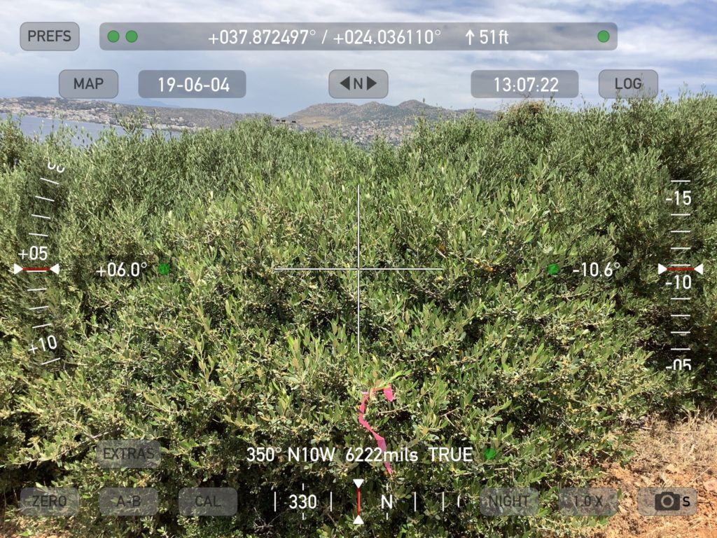
Glamorous shrub views in the Koroni Valley

For the rest of the week, the days I spend on the field are at the site Koroni, located on a peninsula on the south side of the bay, where I continue learning how to conduct gridded survey. We start out collecting in a small valley with variable visibility—entire survey units are sometimes covered in thick and impenetrable greenery that is as spiky and as tall as our surveyors. Koroni is not as rich with pottery as the island is, but we discover several amphora handles, roof tiles, pithos (jar) rims, and bases anyway. At the end of each day, we sit on the porch and empty our hiking shoes of burs and bits of greenery we’ve picked up along the way.