Archaeological Survey After Excavation

For the first two week of BEARS 2021, we’ve been working in one small team of six to tackle the previously discussed scatter on Praso isle . But thanks to some bureaucratic heroics, Maeve McHugh – leader of all things to do with Koroni fieldwork, swooped into Porto Rafti on Sunday, so we started chipping away at our Koroni peninsula survey again today. In honour of the arrival of our Koroni Captain, I offer a few thoughts on what BEARS is contributing to our knowledge of Koroni…for those who have not pored in great detail over our past reports, Koroni peninsula is a really fascinating example of a site that was excavated in part back in 1960, but about which many questions still circulate.
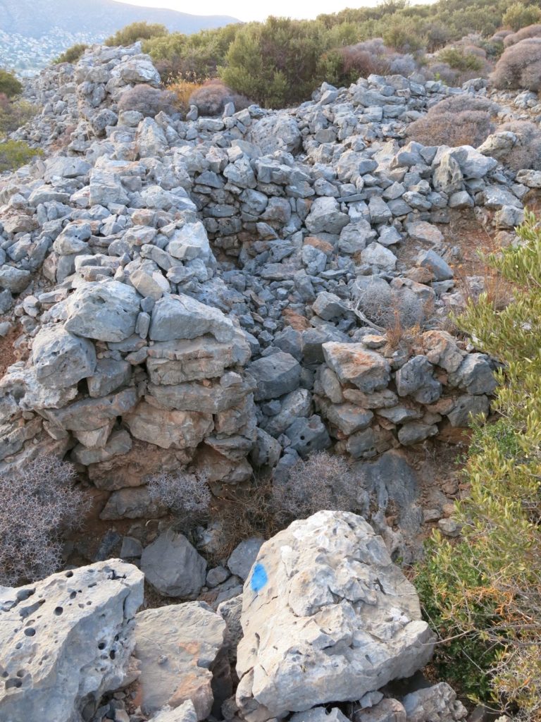
Excavated Gateway and Rooms at Koroni

Some might say that BEARS has messed with the expected order of archaeological events – surveying a site that has already been excavated…can we do that?! It has been done before but usually surveys of excavated areas focus on “more modern” non-artifact collecting practices (e.g. GPR, LiDaR, etc.). Few sites have been subject to surface collection after trenches have been dug. But this is exactly what BEARS is doing at Koroni! This begs the question: how exactly does a surface survey contribute to our knowledge of a site that has already been excavated?

BEARS is technically the third archaeological survey to explore Koroni. The first was conducted by the American School of Classical Studies at Athens (ASCSA) in 1959, and another by the German Archaeological Institute (DAI) in 1986. Although the ASCSA collected a smattering of surface finds, both of these surveys focused on architectural documentation with particular research goals in mind. For the ASCSA, this was capturing the size of the site and identifying enough of the architecture in order to make an informed choice on where to excavate. For the DAI, the project goal was a localized architectural study of buildings on the hillslope, an area of the site largely ignored by the Americans.


When the Americans returned in 1960, they excavated for three weeks in spaces that were proximate to meaningful architectural features identified from the survey. This included areas in and around major gates to the fortification, well-preserved towers, and buildings situated at topographically accessible positions. The results of this excavation changed their interpretation of the site. They no longer thought it was a deme center but instead a short-term military camp built by the Ptolemaic army in the 260s BCE. The Germans then used architectural survey, as well as a re-contextualization of many of the finds, to argue that the site was in fact an Athenian site before the Ptolemaic troops arrived. The picture of the site has hovered around the first half of the third century BCE and the research questions have been largely historical – who lived there and when?
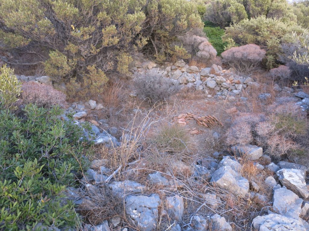
Our esteemed BEARS directors established a survey method that matches the unique situation of the survey area. For example, artifact densities were not a priority at Koroni, since these are typically used to identify a site in the landscape and everyone already knows that Koroni is a site! Instead, we collect surface material from the site and surrounding areas to get a sense of land use across the entire peninsula. Of course we are all still interested in who lived there and when, and architectural documentation will still be a priority – who can resist the chance to contribute to a new narrative! – but our holistic mode of data collection also creates new questions. How does this work?
First, the logistics. We collect what’s on the ground. We are certainly gathering parts of abandoned material from the excavations, but now we can say a lot more about material that was deemed ‘non-diagnostic’ in the mid-20th century and discarded by the excavators. There is no mention in the excavation notebooks of where these discard piles were located, but the high-quality of preservation of the BEARS pottery suggests we are picking up some artifacts that have been exposed on the surface for only 60 years. The high quality of the material might also relate to the fact that we’re surveying an area already designated as an archaeological zone – it is protected by Greek law from tampering or agricultural activity. The exposed bedrock on the top of the Koroni peninsula, where much of the previous work had been done before, prohibits a good diachronic picture of events at the site. Survey of the slopes of the hill and more intensive work in the valley, where soil has accumulated over time and agricultural activity and natural processes have kindly kicked up some of what’s hidden beneath the surface, have already expanded the chronological picture of activity on the peninsula (spoiler alert: the Bronze Age-rs also liked this picturesque peninsula!).
Second, new research questions! The BEARS data provides opportunities for new thoughts about the peninsula. Not just the fortification and its historical importance, but the topographic significance of the peninsula throughout time, connections to its hinterland, ways in which it was integrated into shipping lanes throughout the bay and beyond, etc. Casting a wider net in terms of data collection means we can tackle a whole new spectrum of research questions. Lastly, data processing and contextualization. Work on ancient ceramics, industry, and trade over the last 40-60 years has set us up to get more information from the material we collect. Studies of ceramic production centers, depositional assemblages, and patterns of distribution help us say a lot more about our humble surface sherds. In addition, thanks to BEARS’ work throughout the survey area, Koroni can be better understood within its wider regional environment. We know SO MUCH MORE than we ever did before about Porto Raphti, and now Koroni will be part of this larger diachronic picture.
We are always creating a new archaeological record. It changes, we change, and it’s worth it to keep asking new questions about old places even if we think we already have it all figured out.